
He was the butler at Trumland House, and was an accomplished artist and photographer.
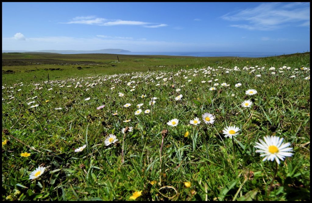
Trumland Farm is first mentioned in old parish records as being occupied by ‘John of Trimland’ in 1503. In the 1595 Rental Trumland was skatted as a 2d. land, lying on either side of the Burn of Trumland, which flows down from the Hass of Trumland, on the southern slopes of the hills of Blotchniefiold and Knitchin. Later tenants were named as Magnus Trumbland, between 1653 and 1655, William Miller in 1702, Magnus Bancks, in 1706, and James Banks between 1737 and 1774.
In the 1840’s Trumland was farmed by Peter Yorston. He originally lived at Oldman, Sourin, and in 1813 at Corse, Frotoft, he married Rebecca Craigie, daughter of Mitchell Craigie and Rebekah Marwick of Hullion. They had three children; Peter, was born on May 8th 1814; Mary, on July 23rd 1816; and Ann, who was born on January 19th 1823.
Another tenant at Trumland at this time was James Yorston, who was in his 80’s. His son, also called James, farmed the land alongside Peter Yorston, but to my knowledge they were not directly related.
By the time the census of 1851 was carried out James Yorston and his family had left Rousay. Peter Yorston had died and his widow Rebecca lived at Bare Braes, a small croft above Cogar, with her daughter Ann, who by then was a 27-year-old straw plaiter.
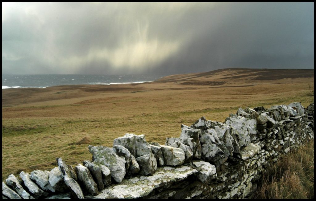
Robert Scarth was the notorious factor of George William Traill’s Rousay estate and it was he who was the architect of the clearance of the Quandale crofters after the harvest of 1845. These clearances occurred in two phases: 1845-48, and 1855-59, by which time the cottars finally lost residual rights to keep animals and cultivate land.
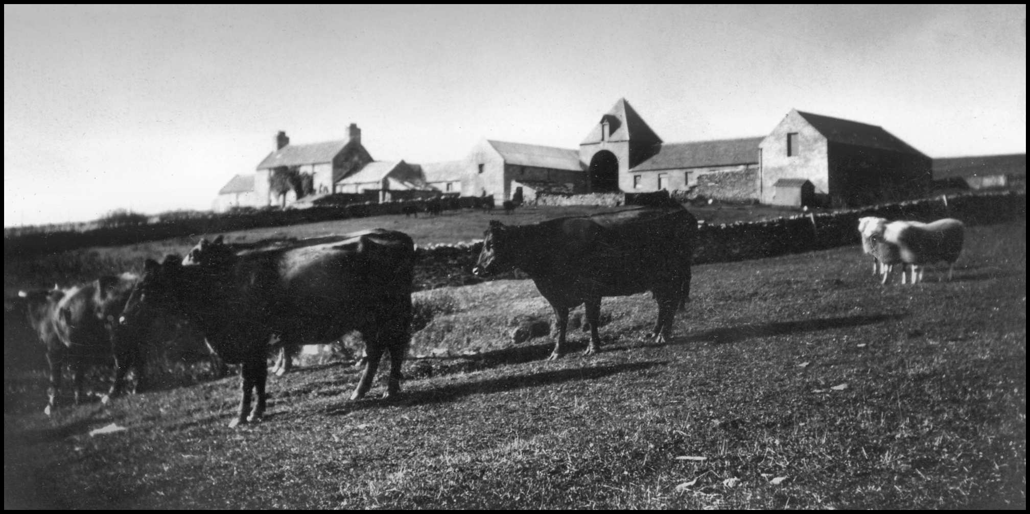
The farm at Trumland had been taken over by Robert Scarth’s son George, a 30-year-old farmer from Kirkwall, paying an annual rent of £39 12s 3d, with the interest on improvements added. He lived there with his Orphir-born wife Catherine Robertson, sons Robert (6) and James (3), who were born in Firth, and 8-month-old daughter Catherine. Also living at Trumland at this time were farm labourers John Shearer (22) from Stronsay, and 19-year-old James Inkster, housekeeper Mary Craigie, who was 24 years old, and John Johnston, a 13-year-old herd.
By the time of the next census, 1861, George and Catherine had had another four children, John, George, Robina, and Thomas. George was farming 70 acres of land at Trumland, but this had increased to 92 by 1871. George Scarth retired as factor in 1873 – and after that things were different at Trumland. Rent arrears hardly existed under Scarth, despite a steady increase in rent, but he saw to it that tenants managed to pay their dues with relative ease. Very soon after his retirement rents increased rapidly between 1873 and 1883. Robert Scarth’s son-in-law John MacRae acted as factor during the first three years of this period and was very unpopular with the Rousay crofters. He was also Orkney’s Procurator Fiscal and the laird, General Burroughs’ personal lawyer, which didn’t help matters much either.
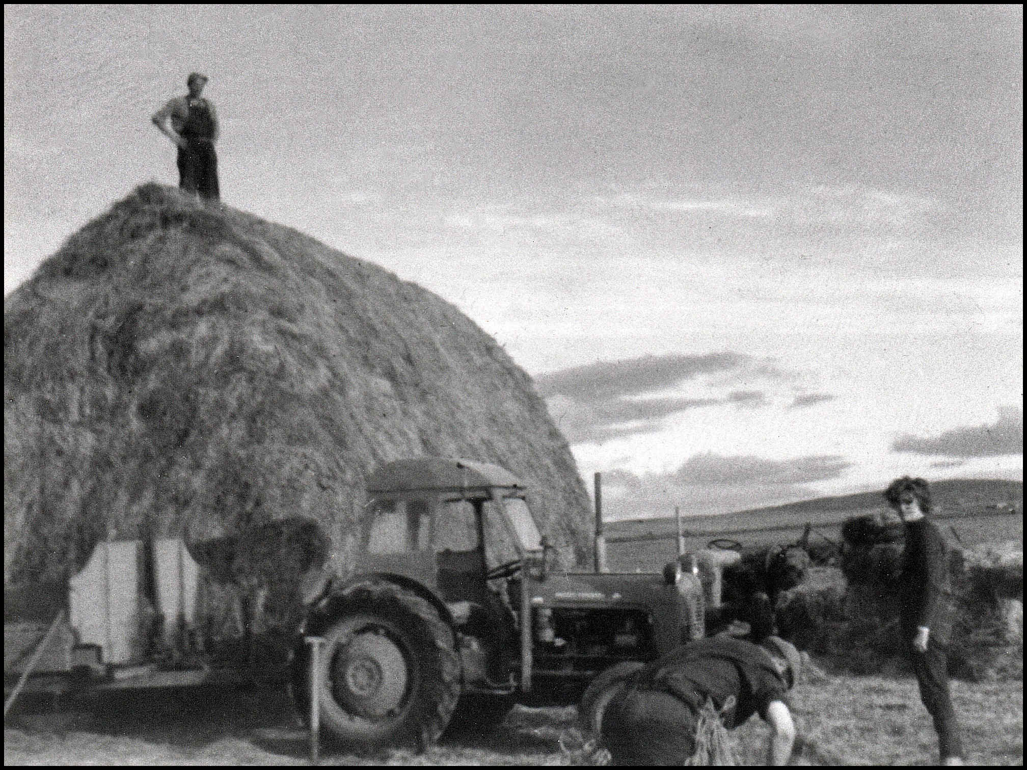
In the 1870’s Burroughs spent £2,608 on Trumland farm, but despite this ambitious programme of building, draining, reclaiming, and fencing, there was never a time when the farm operated at a profit as long as it was under Burroughs’ management. The loss on Trumland Farm was regularly about £180 a year. He spent a further £1,320 on non-agricultural improvements, largely houses for his servants, including his yacht-master, and a cottage for the drill sergeant of the Rousay Volunteers. In 1875 a new resident factor was employed to manage the estate. He was George Murrison and he and his wife Mary lived at Viera Lodge.
The census of 1881 reveals no less than five families living and working on the Trumland estate. The first of these was Charles Johnston, his wife Ann Harrold, and their four children. Charles was the son of John Johnston, Brinian, and Elizabeth Reid, Pow, Westside. Charles’s wife Ann was the daughter of James Harrold of Boray, Gairsay, and his first wife Isabella Gibson of Langskaill.
Farm labourer James Logie was employed as a farm labourer at Trumland at this time. He was the son of John Logie, Geo, Westness, and Mary Craigie, Whome, and he was born in June 1829. He was married to Betsy Gibson, daughter of Alexander Gibson and Isabel Marwick, and she was born in June 1823 when the family were living at Stennisgorn, Wasbister.
36-year-old John Manson was employed as Trumland’s grieve. In those days a farm’s grieve held the responsibility of managing the farm, and was mainly engaged in supervision and allocation of duties; he would also superintend the work of agricultural labourers, e.g., carters, cowman; and was at liberty to buy and sell produce and equipment on the laird’s behalf. John was from Watten, Caithness, as was his wife Alexandrina. They had five children at that time, Sidney, John, Duncan, Donald, and Jessie. Under the same roof were four farm workers – James Marwick (24), Donald Allan (22), Mary Marwick (20), who were farm servants, and 20-year-old Mary Leask, from Stenness, who was a dairymaid.
By 1891 Trumland Farm had a manager – 47-year-old Peter Swanson from Thurso. His wife Margaret Manson was from Canisbay, and with them were their children; George, a fifteen-year-old apprentice joiner, scholars John, Peter, Catherine and William. Under another roof at the farm were Barbara Rosie, a 33-year-old dairymaid from Burray; William Leask from Kirkwall, who was employed as a farm servant; and Mary Marwick, a 32-year-old general servant.
Living at the Old Mill at this time were farm servant John Cutt and his wife Mary Craigie – and general labourer James Logie and his wife Betsy Gibson.
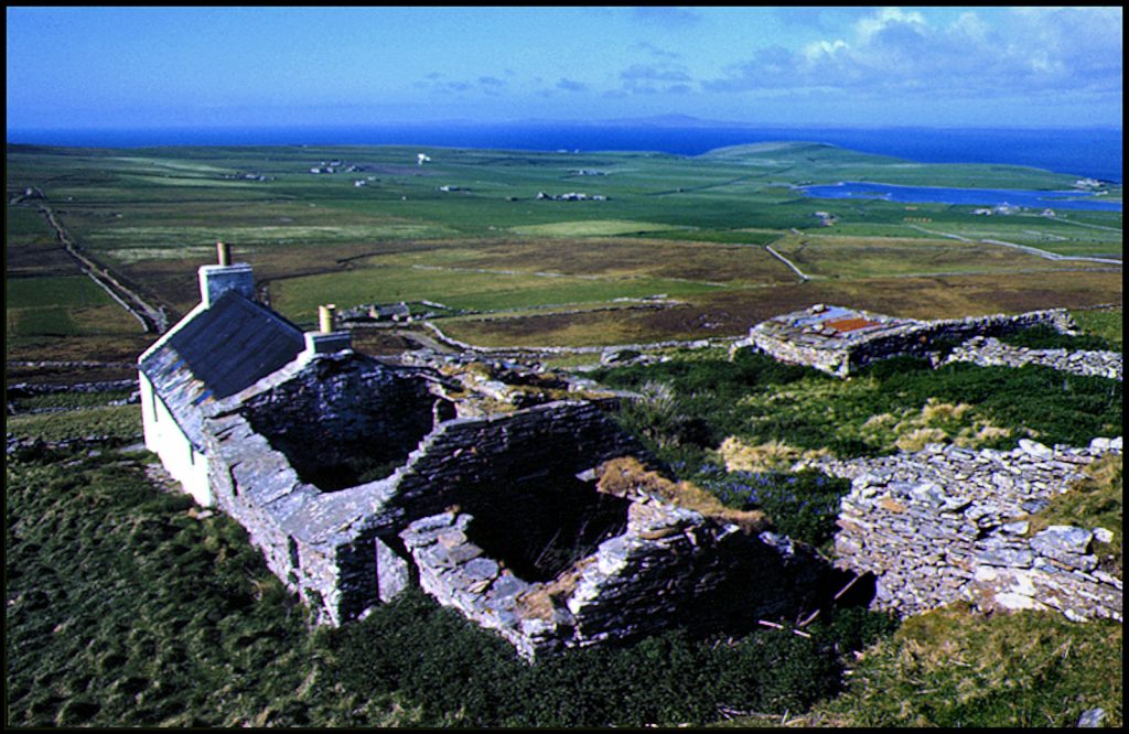
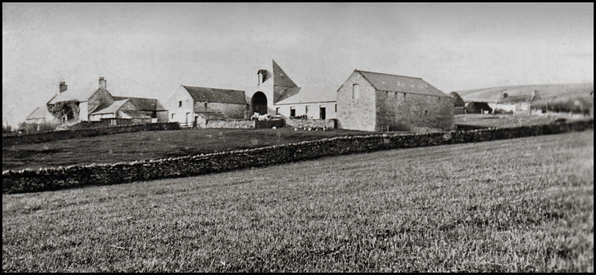
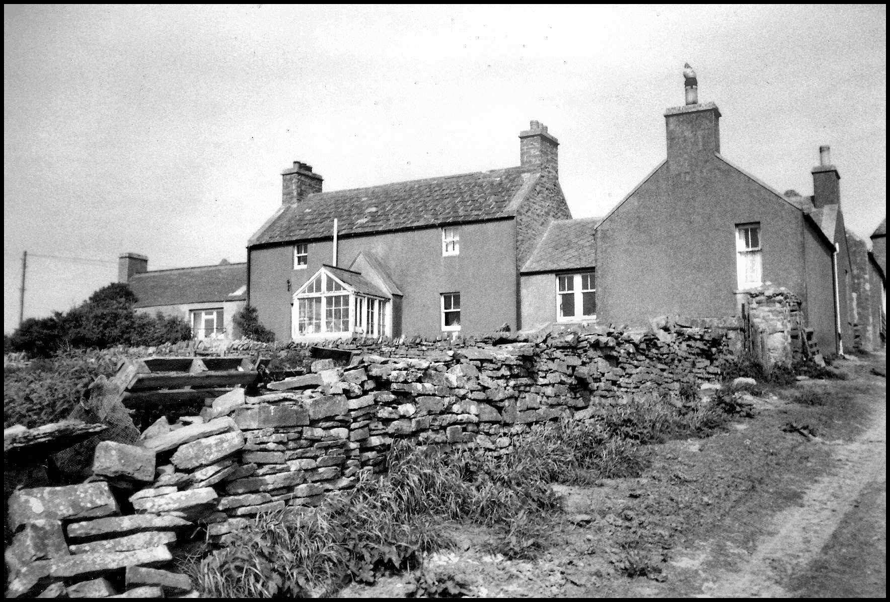
with part of the cottage of Dishans to the right
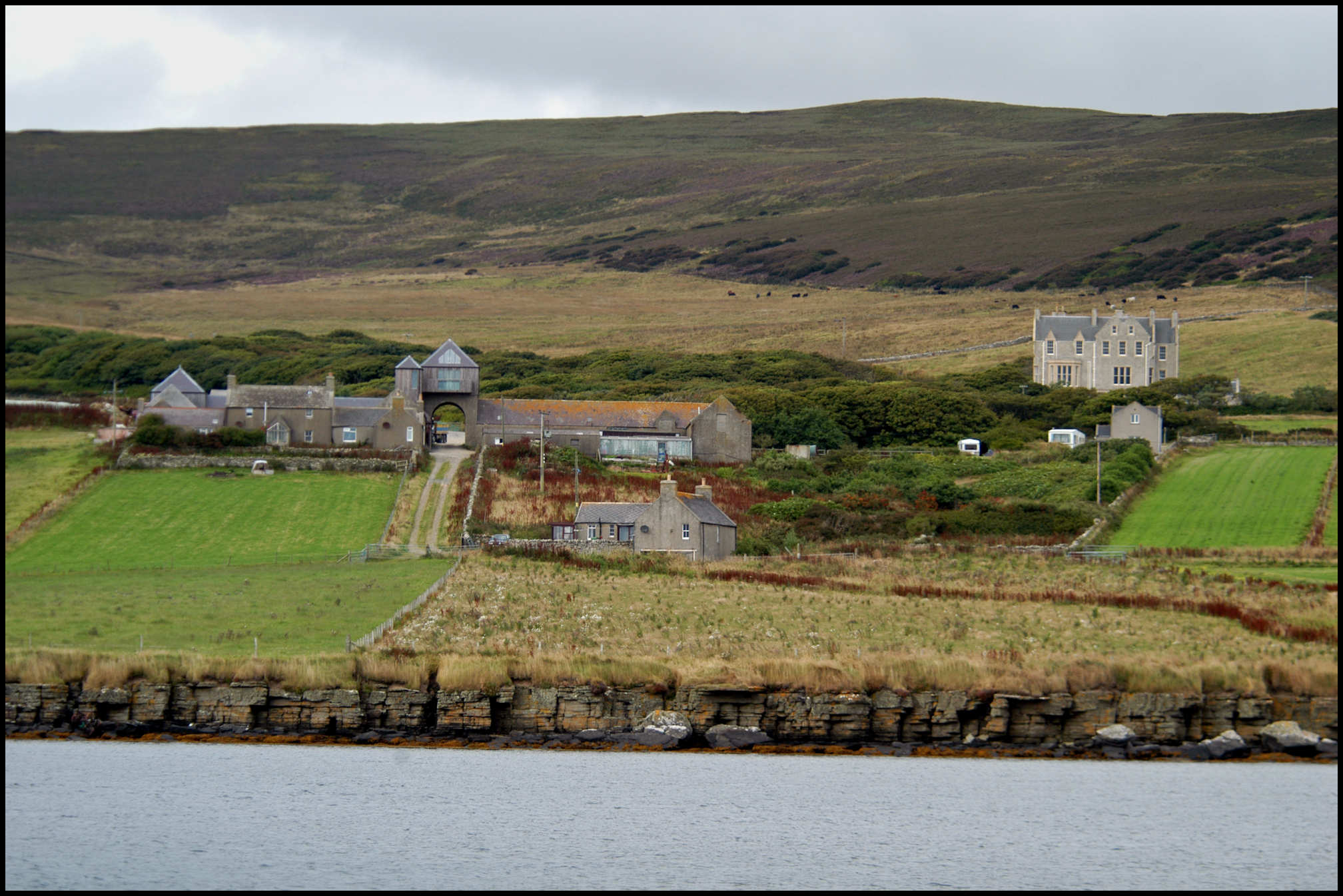
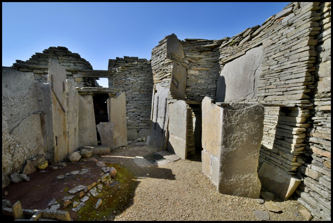
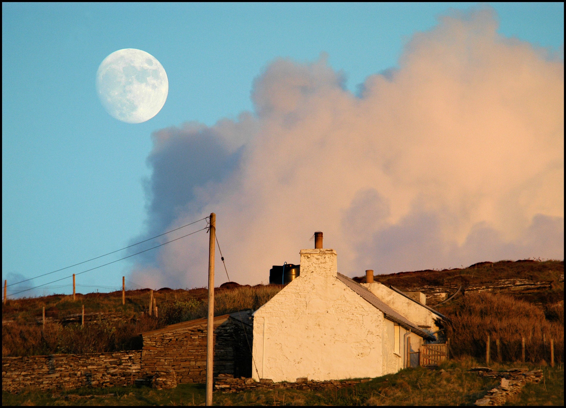
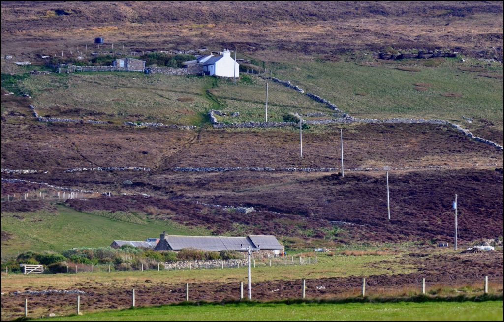
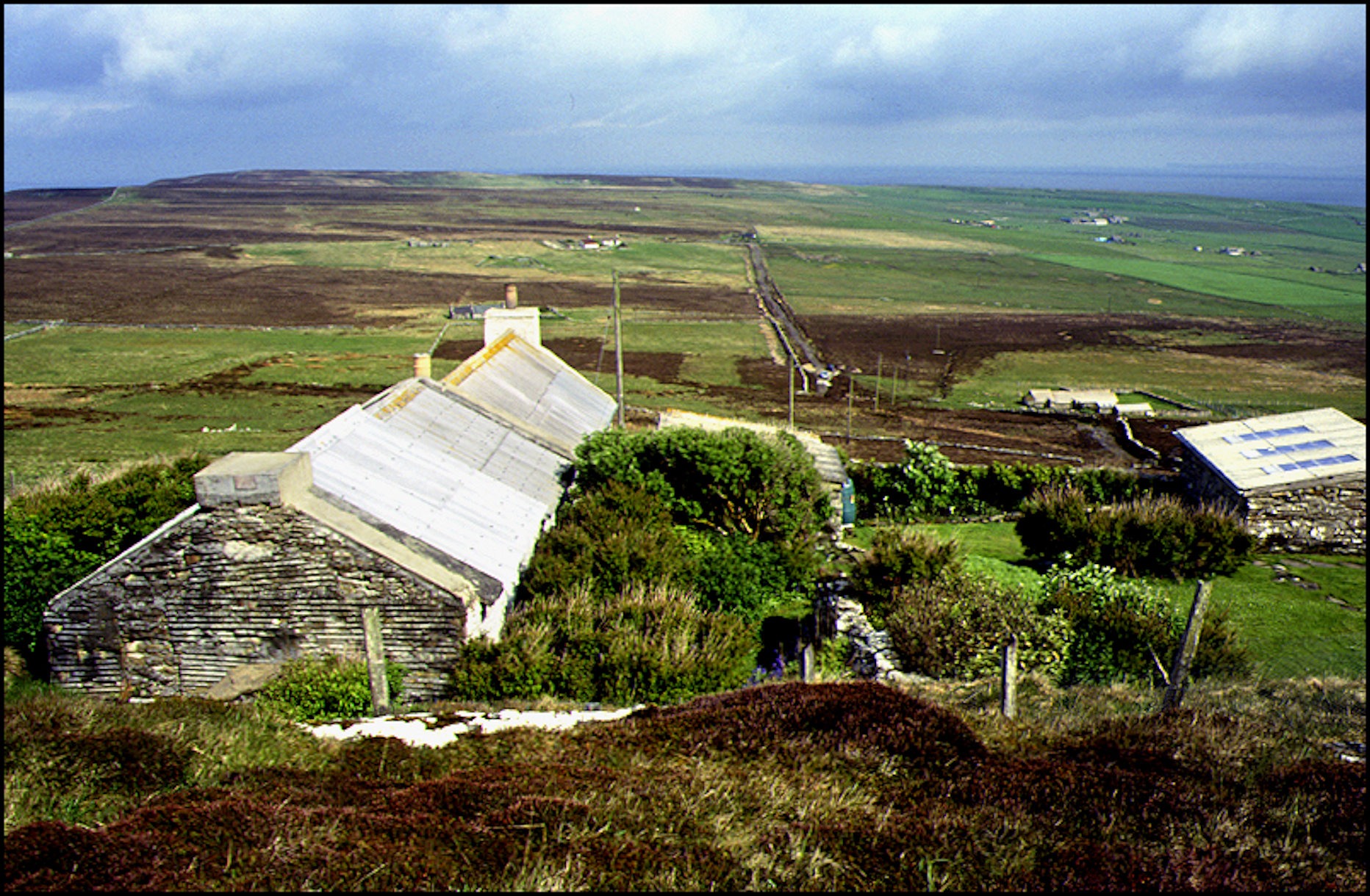
Dishans was the name of a cottage on the left of the track down to Trumland farmhouse. Little or nothing is known of it – but it could well have been named after its occupants – Mr and Mrs Dishan! The 1901 census tells of crofter James Dishan [52] from Evie and his wife Christina [53] of Westray living at West Craye, Sourin. By the time the 1911 census was carried out Christina was a ‘ploughman’s widow’, living at Gue, Westness. I’m guessing James was employed on the farm and this is where he and Christina lived during that time.
Between 1894 and 1900 David Wood was paying an annual rent of £110 at Trumland farm. Come the census of 1901 the resident farmer was 26-year-old Hamilton Hebden Horne [known as Hamish] from Warsetter, Sanday. He was the son of farm factor Adam Horne and Robina Strong. On November 23rd 1900 he married 29-year-old school teacher Betsy Ann Marwick, daughter of carpenter Hugh Marwick and Lydia Gibson, Guidall, Sourin. Under the same roof lived Margaret Louttit, a 24-year-old domestic servant, and two farm servants, Donald Robson (16), and James Inkster (24). The Old Mill was occupied by 42-year-old ploughman John Shearer, who was born in Stronsay, and his wife Catherine (39) was from Sandwick. They had six children: Catherine, at that time a 16-year-old domestic servant, Janet (9), Eliza (7), and Peter (5) who were all at school, and 2-year-old William, and Violet, who was just 2 weeks old when the census was carried out.
Ten years on [1911] and 67-year-old widow Eliza Craigie from Evie was head of the household at Trumland, and registered as farmer/employer on the census return. With her was her unmarried 27-year-old daughter, a domestic worker, Hugh Marwick, a 23-year-old ploughman, and 15-year-old Tom Marwick, who was employed as a cattleman. Under another roof lived the Robertson family. 42-year-old William Robertson from Sandwick was the farm’s foreman. With him was his wife Isabella and 12-year-old son James. Four-year-old nephew George Wards was visiting at the time.

Frederick Traill Inkster moved from his father Hugh’s farm at Westness to farm land at Furse and Innister. He married Isabella Craigie, daughter of James Craigie, Claybank, and Isabella Kirkness, Quoyostray. They eventually moved from Wasbister to take over the tenancy of Trumland Home Farm in the early 1900s. When Frederick retired from farming he and Isabella took up residency at Greenfield, between the farm and the pier – that house’s name being the same as that of the farm in Shetland where Frederick was born in September 1868.
In 1922 Trumland Farm was occupied by James Halcro Johnston, his wife Margaret Ritch, and children Robert, James William, & Violet. James was born at Crook, Rendall, in June 1880, the son of farmer Jacob Johnston and Ann Wood who had married in Rousay in December 1875. James & Margaret [pictured below] married in February 1905. She was the daughter of farmer William Ritch, Orquil, Rendall, and Jemima Firth.

Their son James William was well-respected throughout the farming industry. Part of his obituary in the Sunday Herald newspaper, dated September 2001, give us an insight:-
Retired farmer and poultry expert James Johnston, 94, farmed at Newton of Fintray, near Aberdeen, for more than 50 years.
Orkney-born Mr Johnston – known to his relatives in the Orkney tradition as James-William and to his friends as Jimmy – hit the headlines in 1951 when his cross-bred heifer, Kilmeny, won the butchers’ cattle championship at the Scottish National Fatstock Show in Edinburgh and went on to win the reserve supreme championship at the Royal Smithfield Show at Earls Court, London.
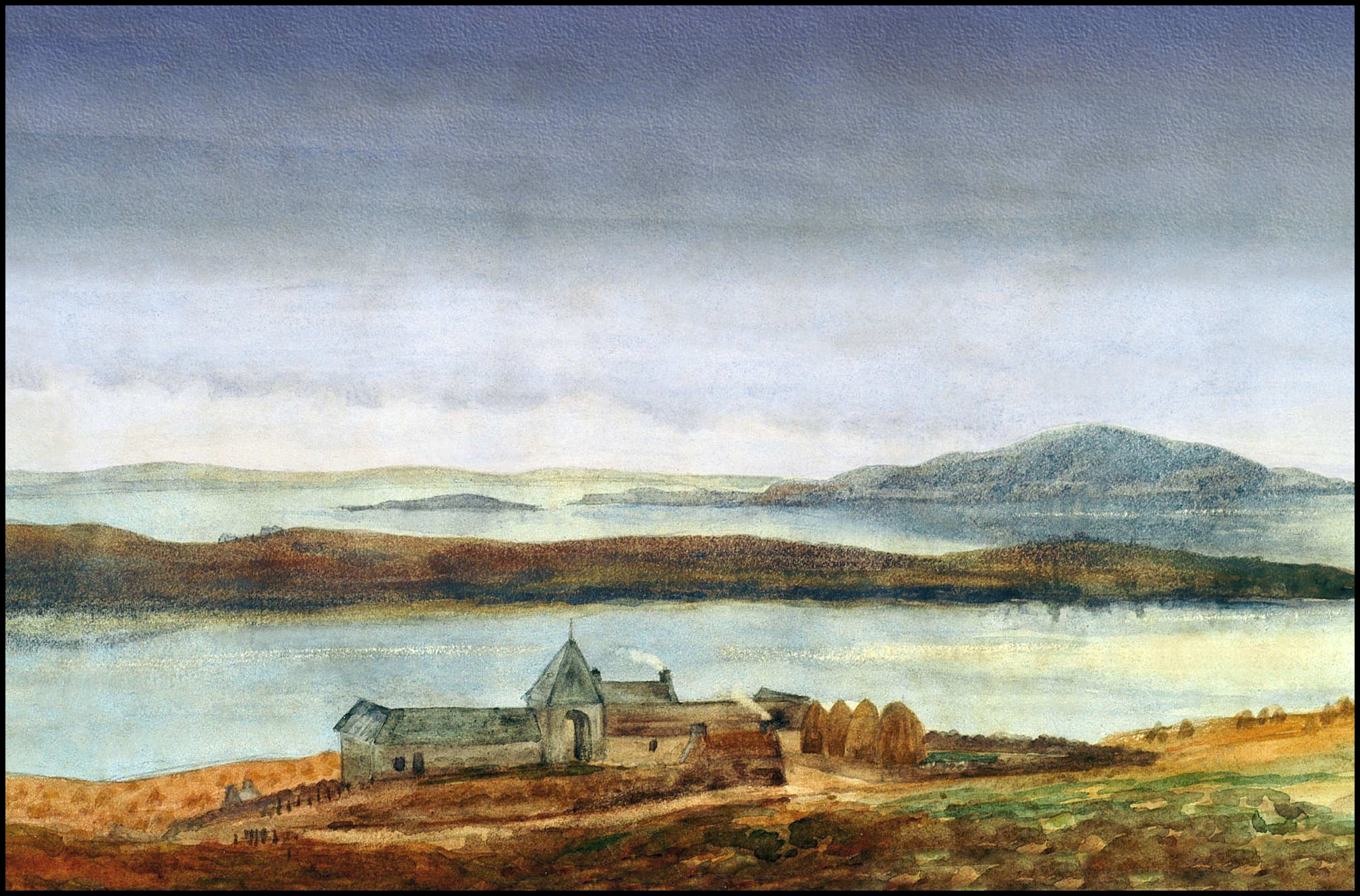
He was born in 1907 in a small, two-roomed cottage on the farm of Crook, Rendall, Orkney, where his family had been tenants since 1840, and moved to Trumland on the island of Rousay in 1922 when his father took on the Home Farm. Despite colour blindness, he was naturally artistic and in his younger days painted watercolours which still hang in the homes of friends and family…..
[All black & white images are courtesy of Tommy Gibson]