Categories
Quandale

Inner Quandale

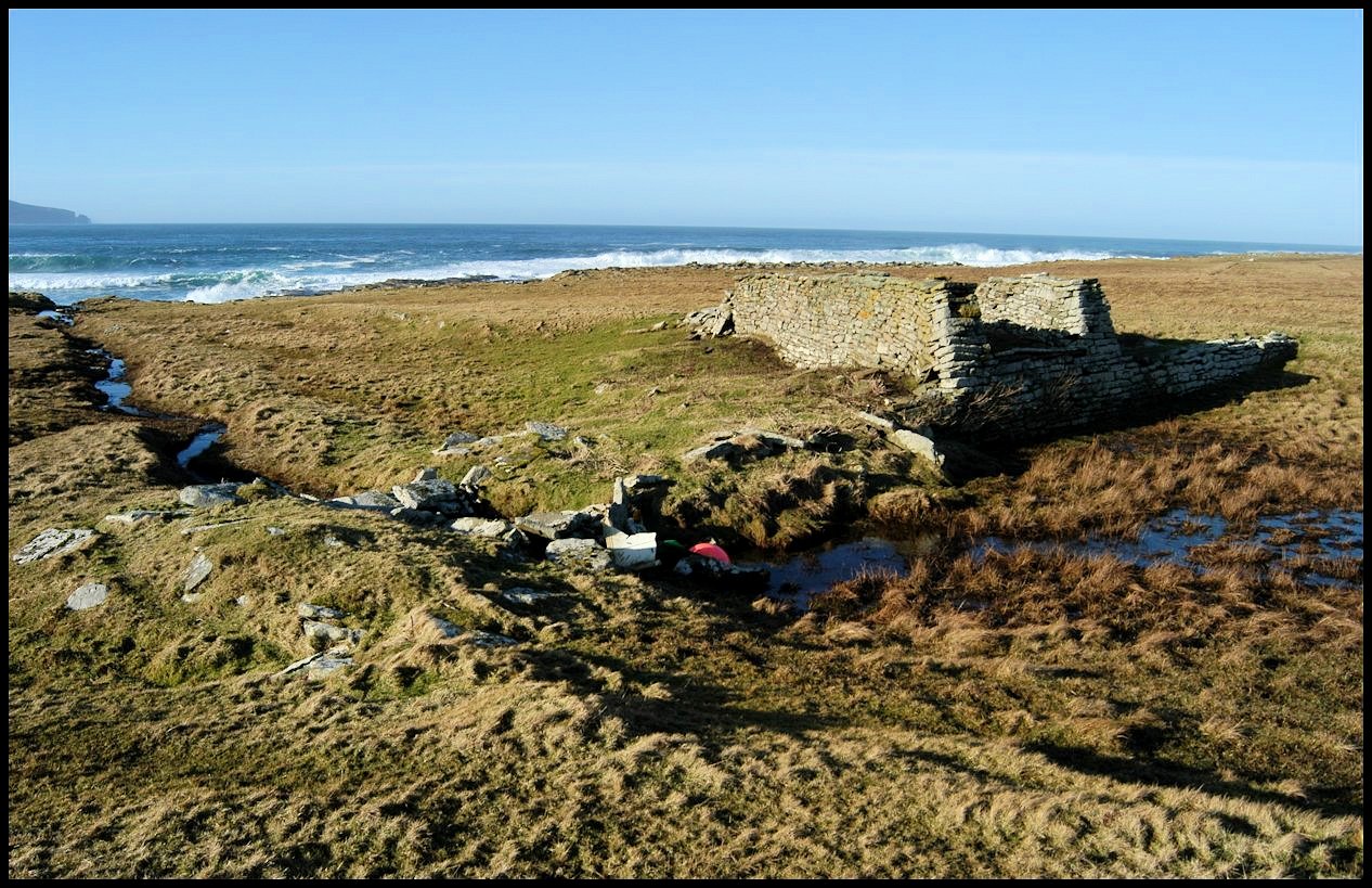
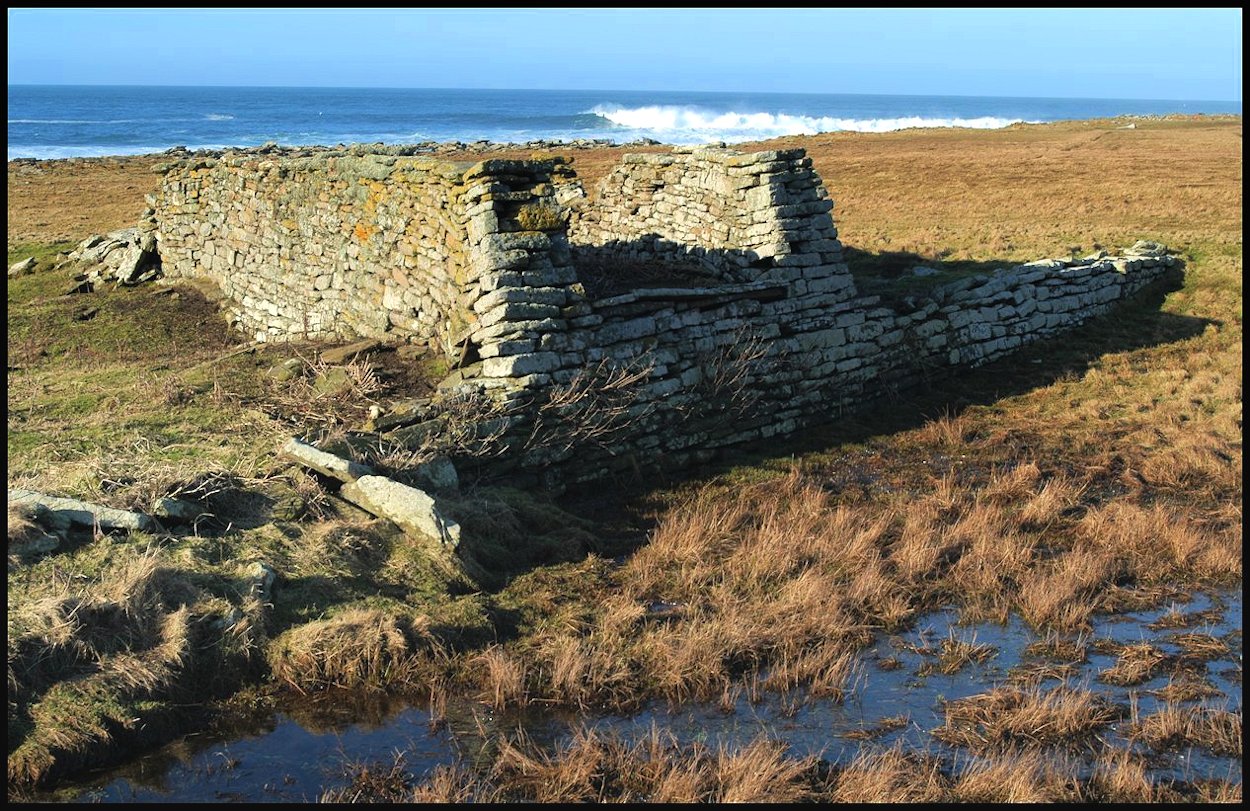
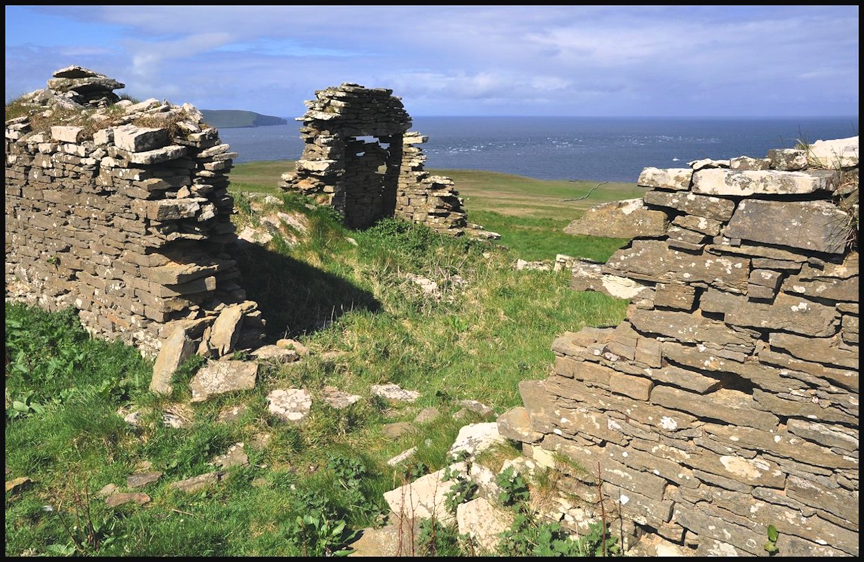
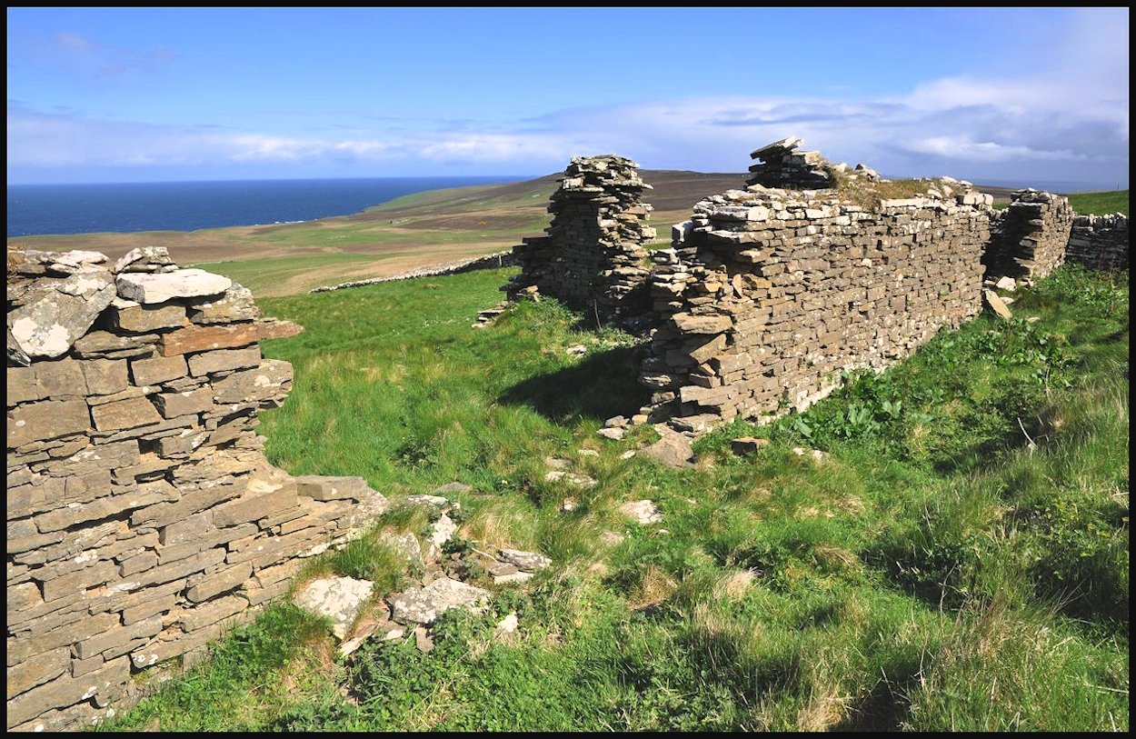
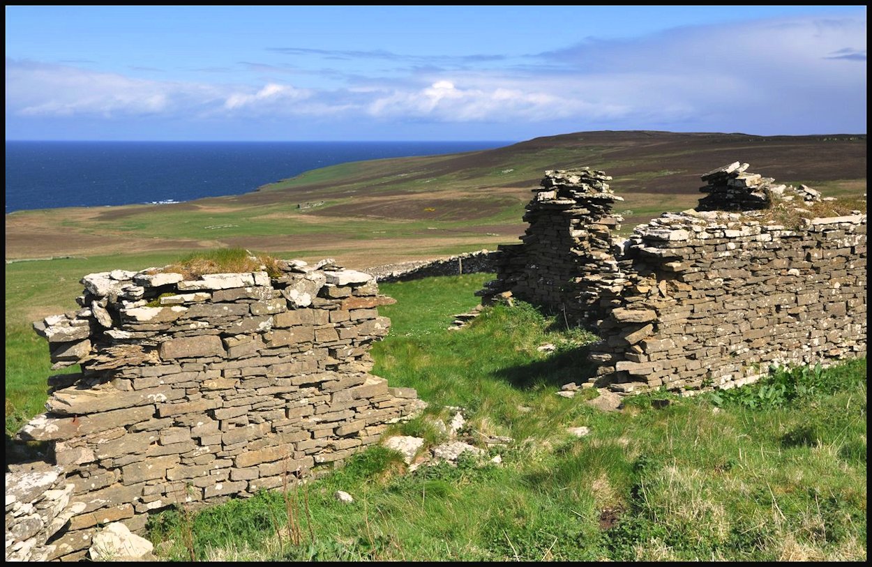
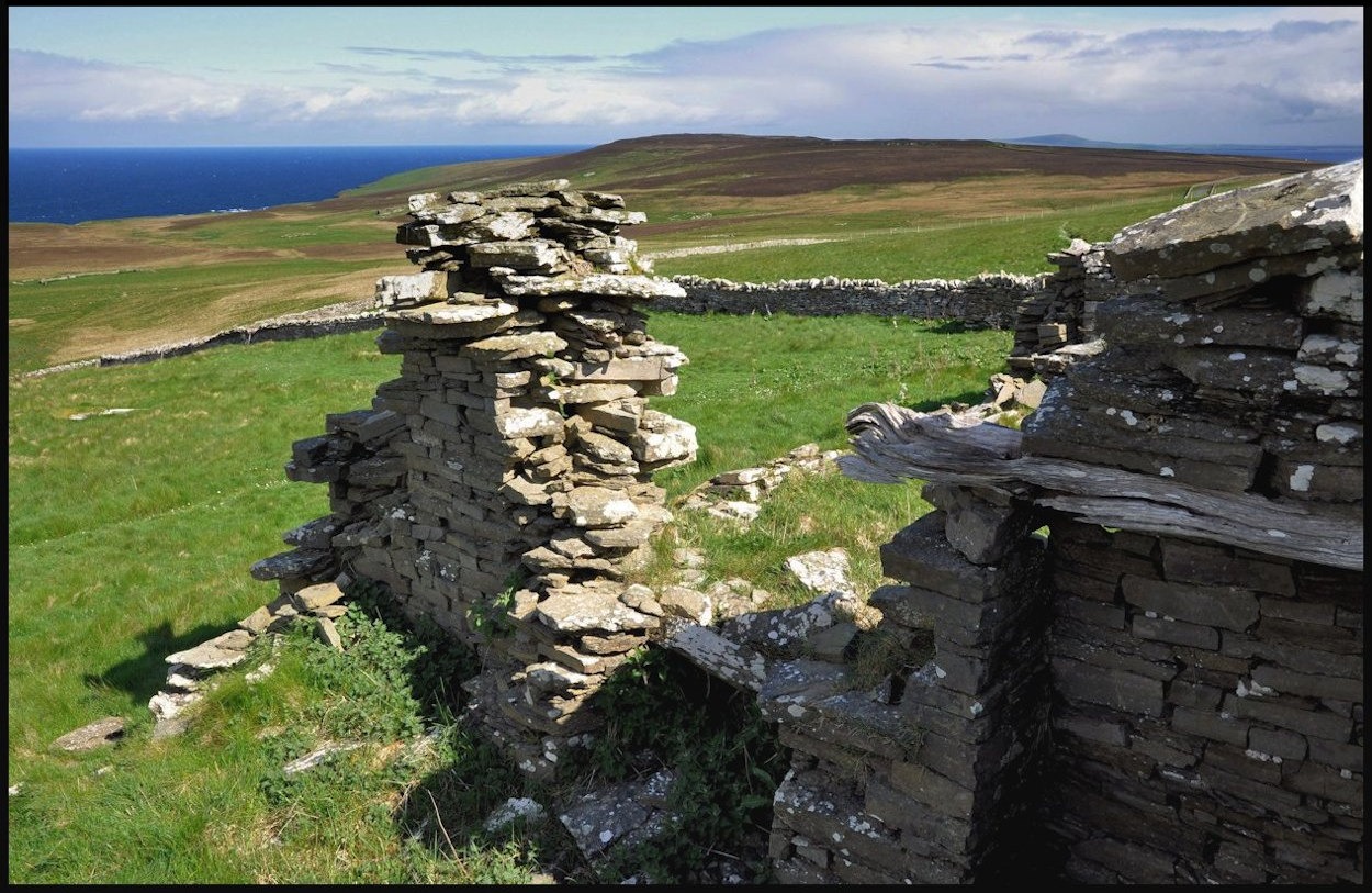
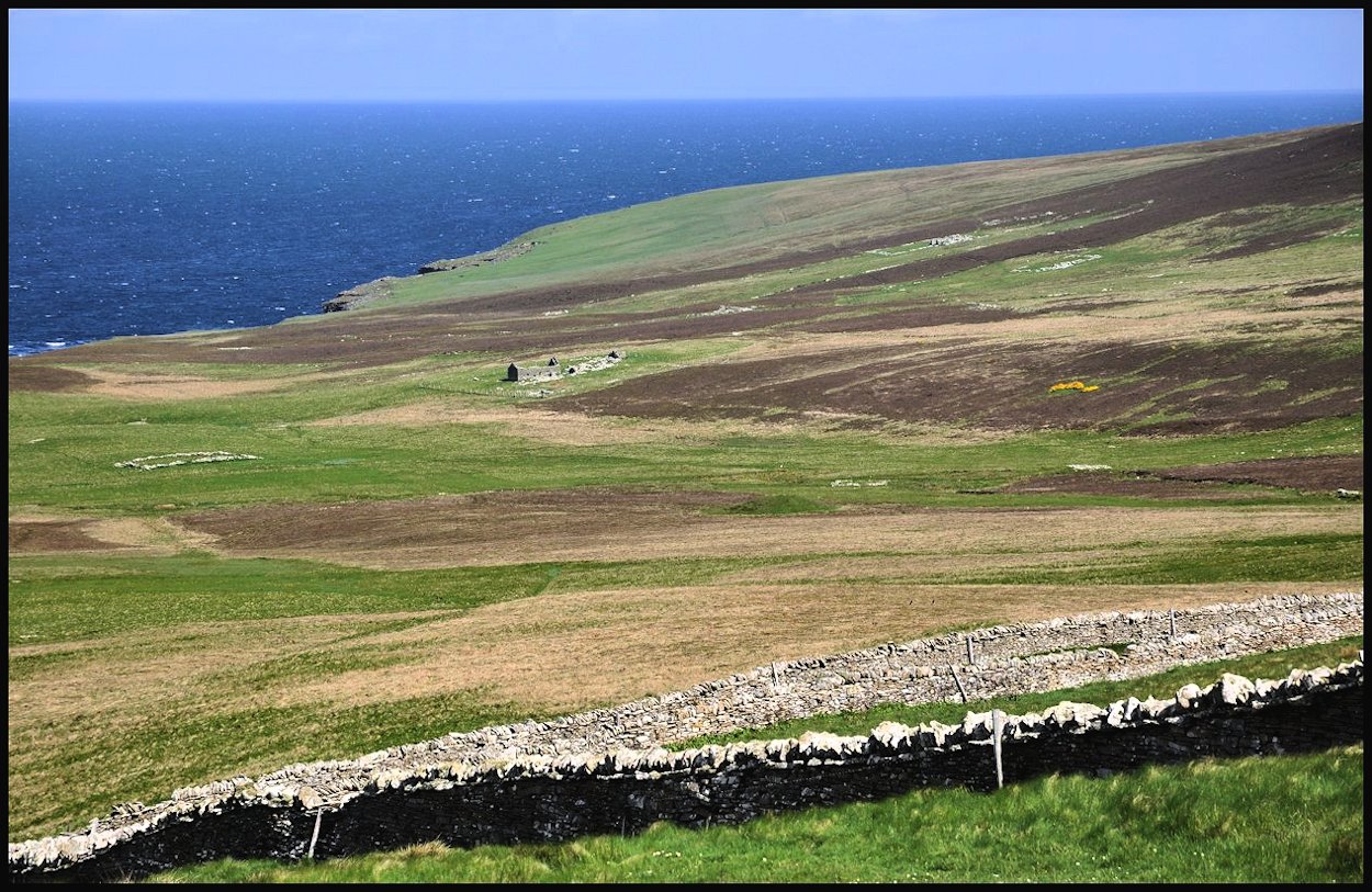
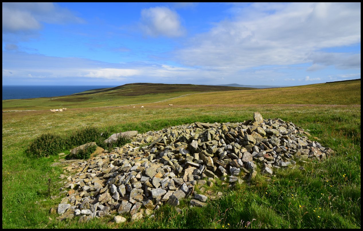
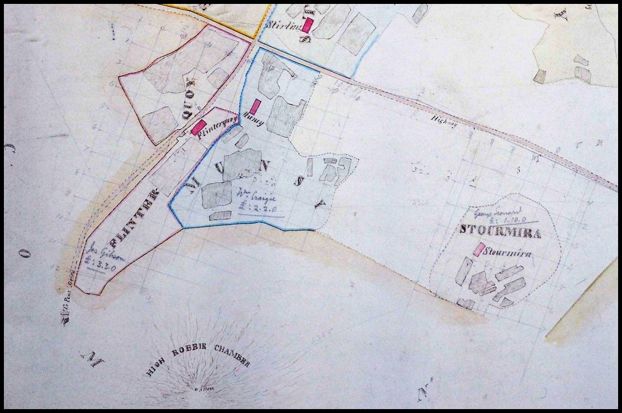
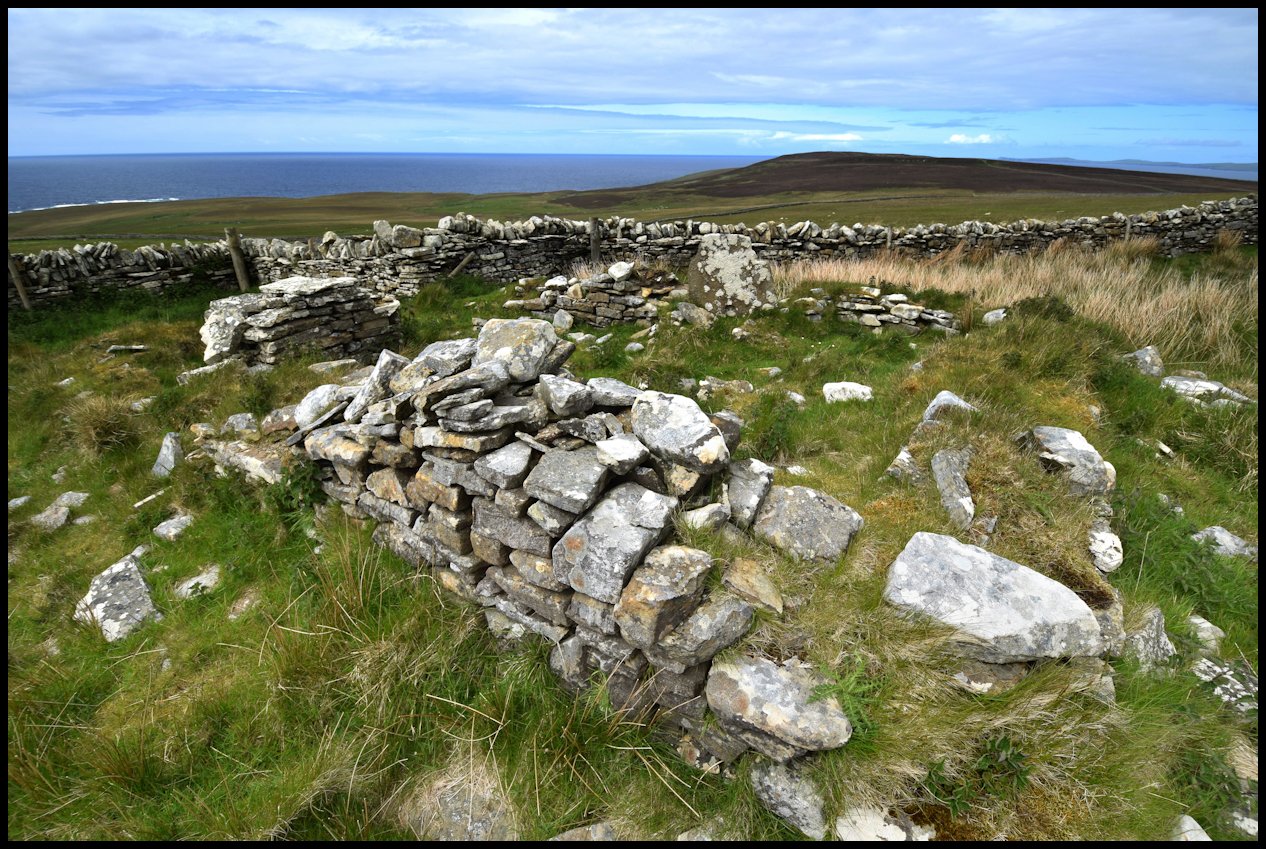
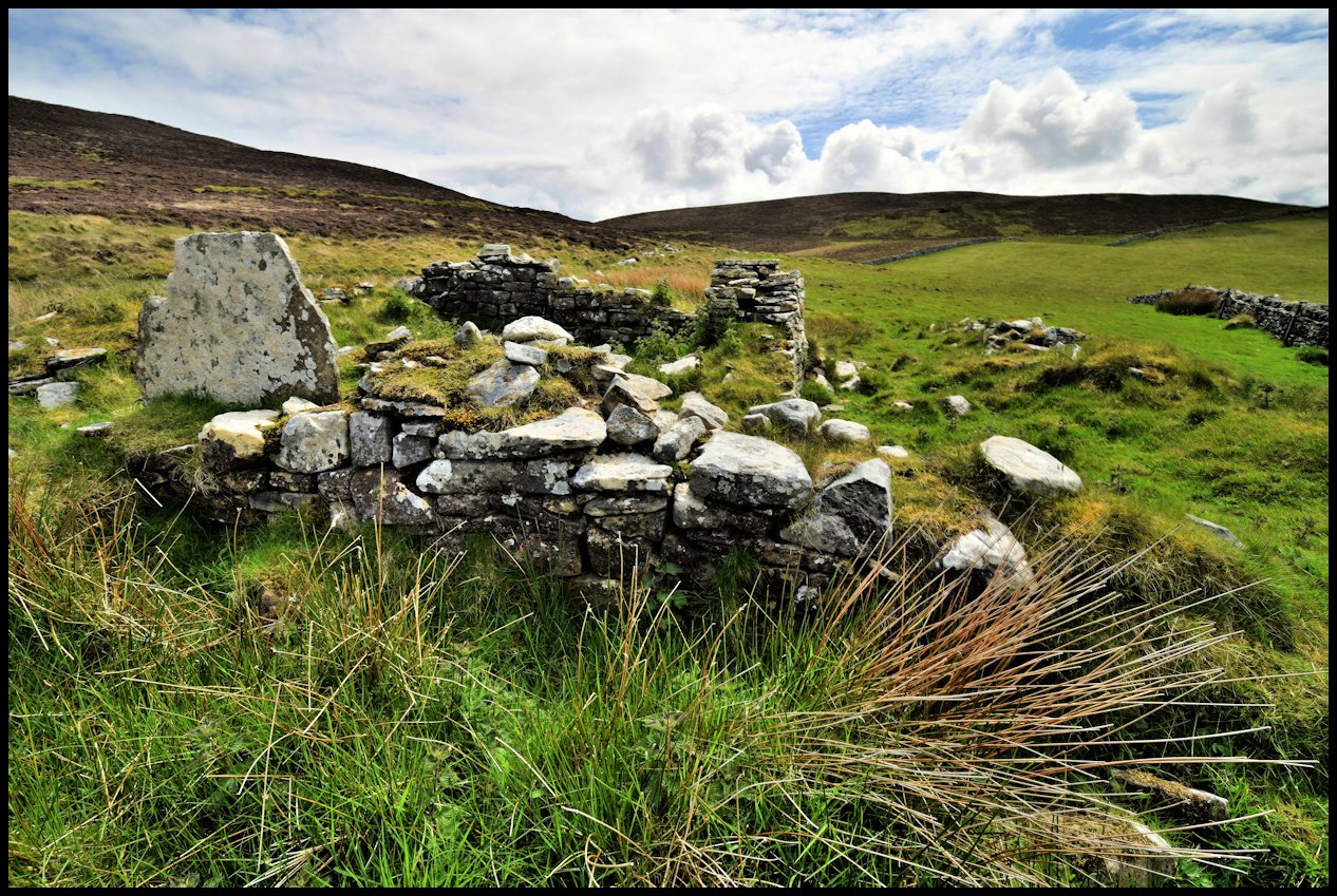
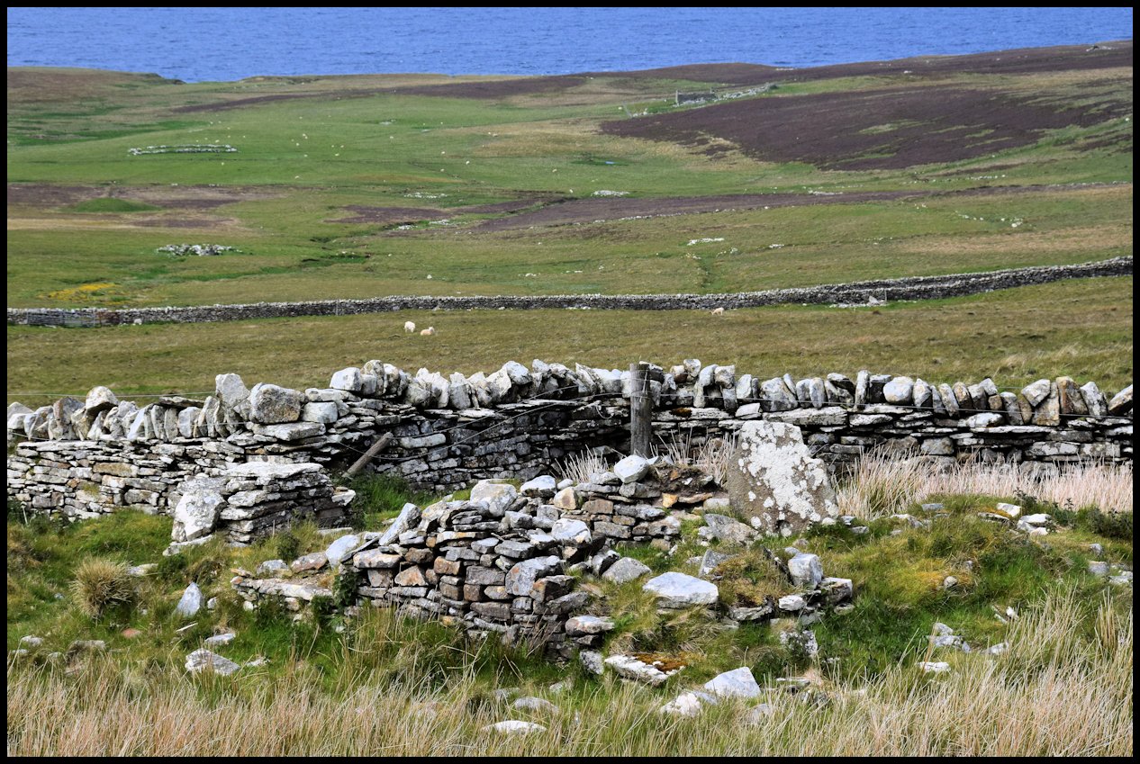
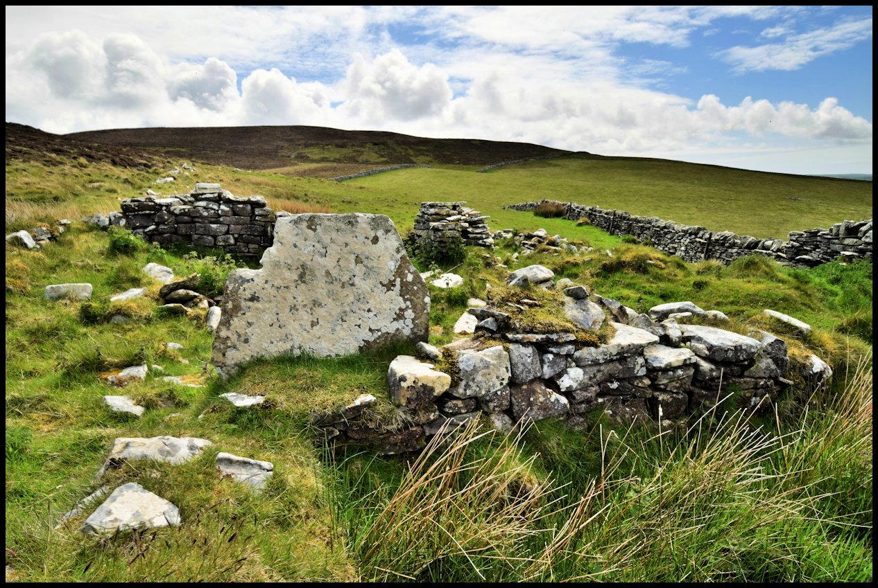
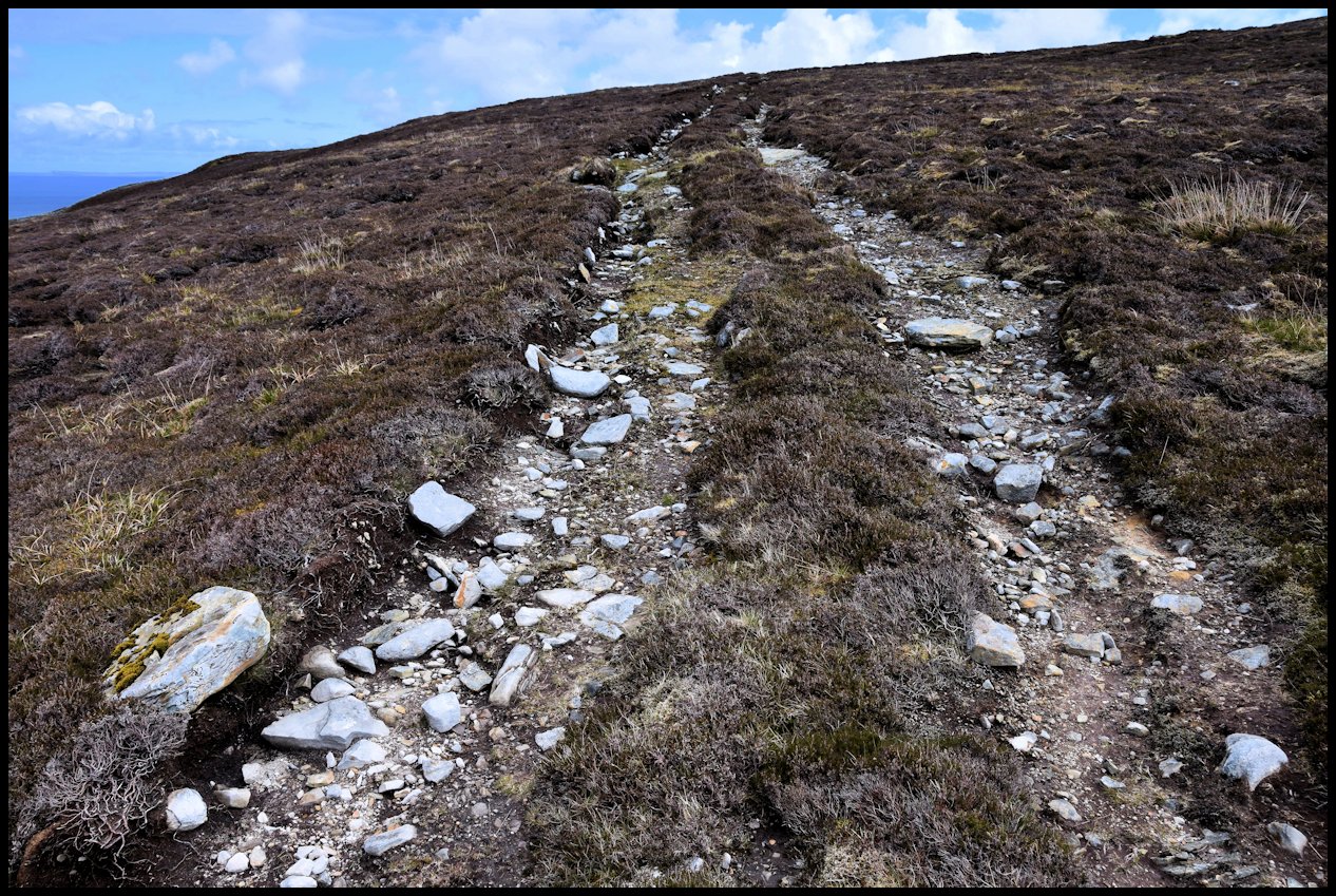
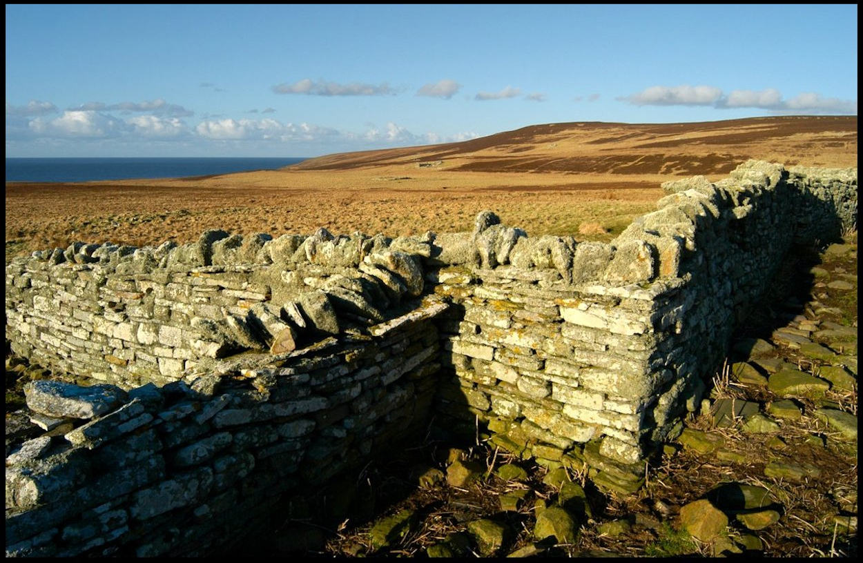
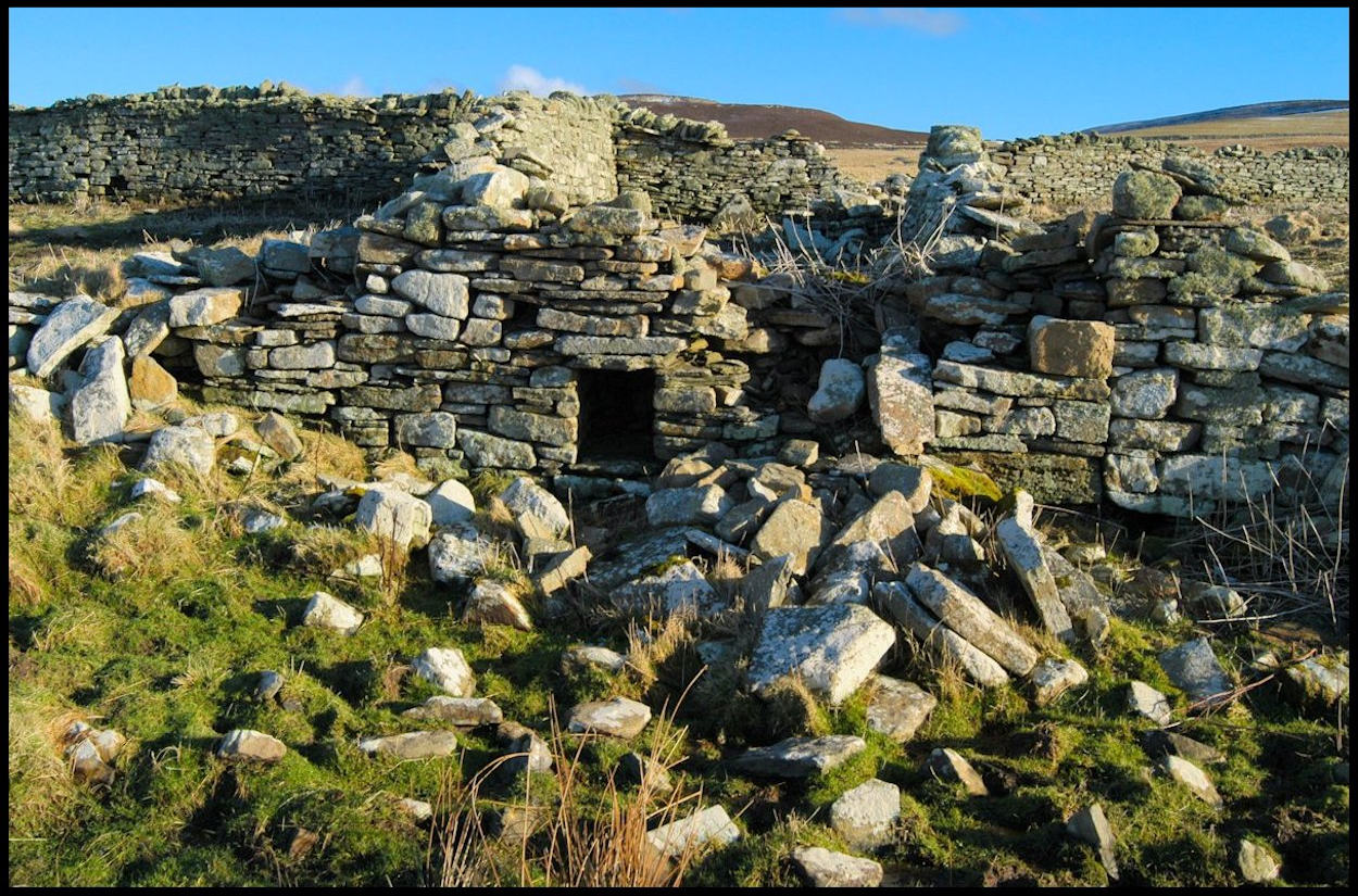
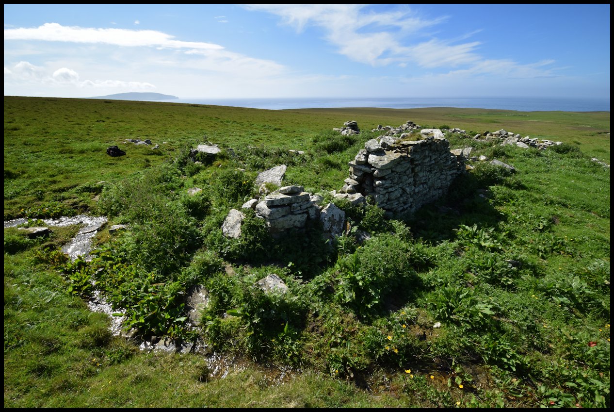
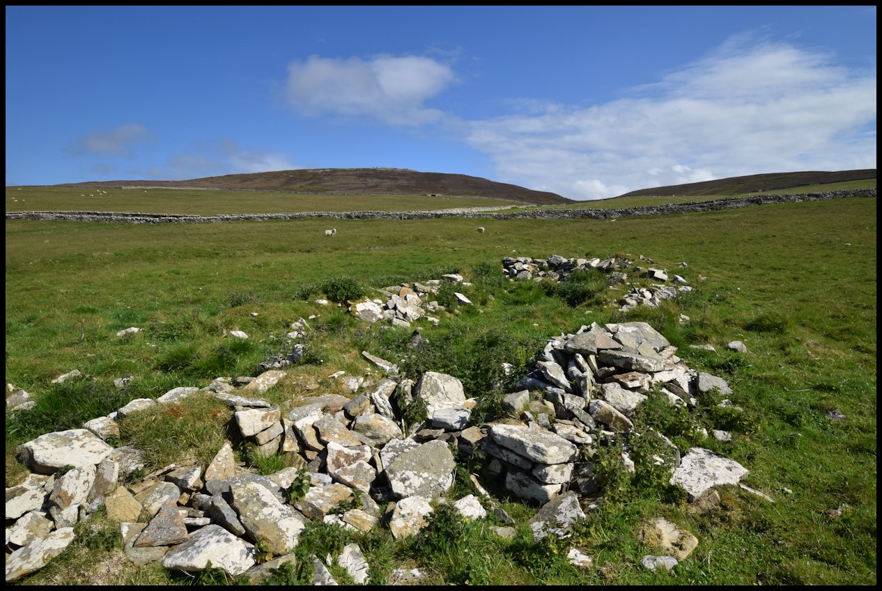
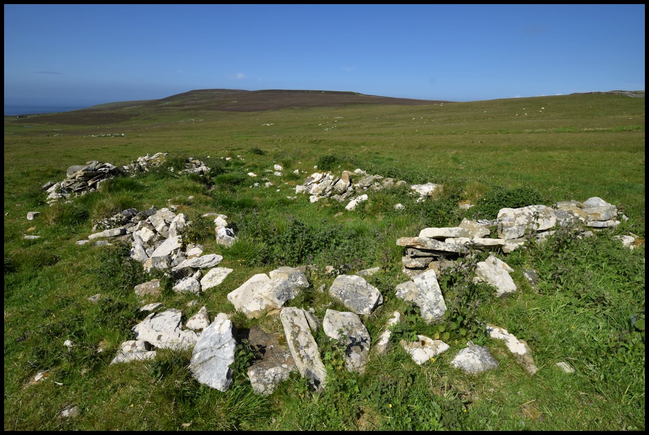
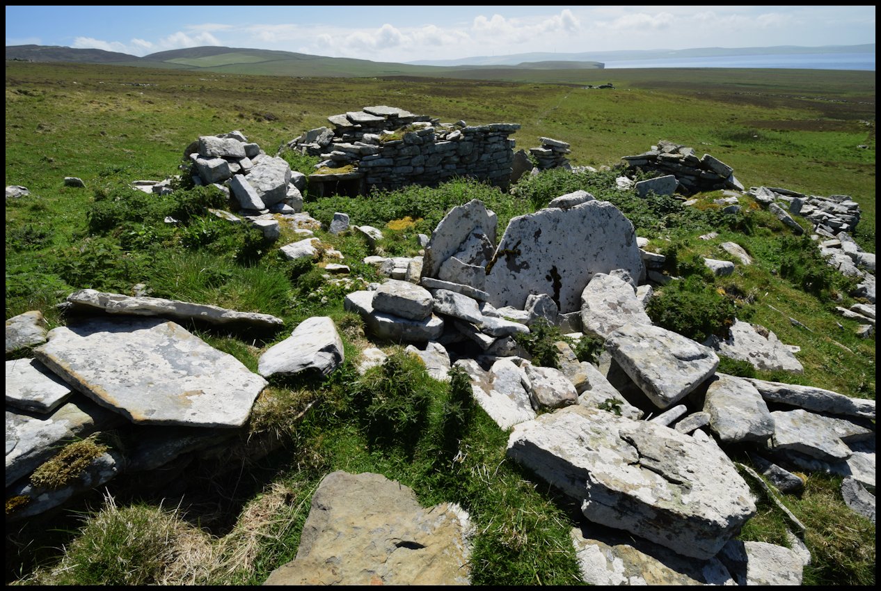
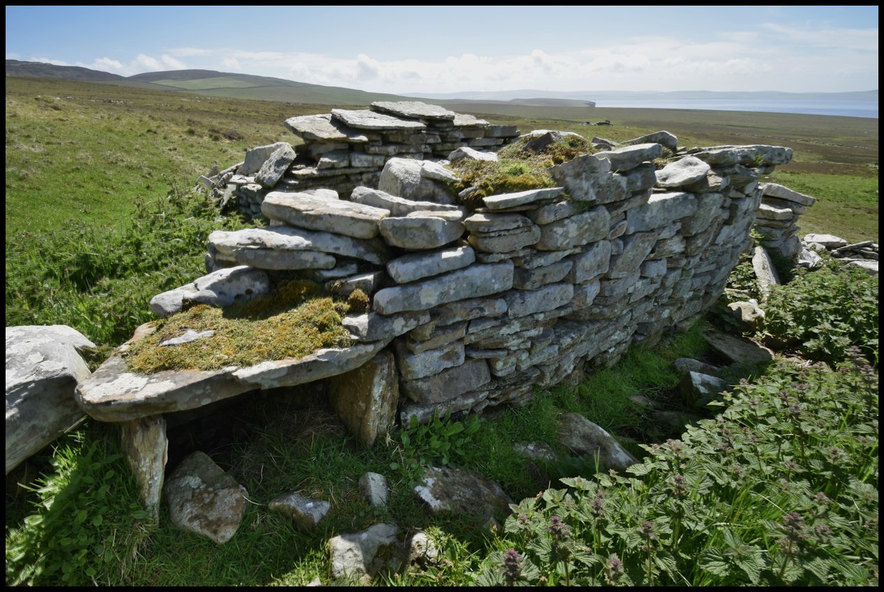
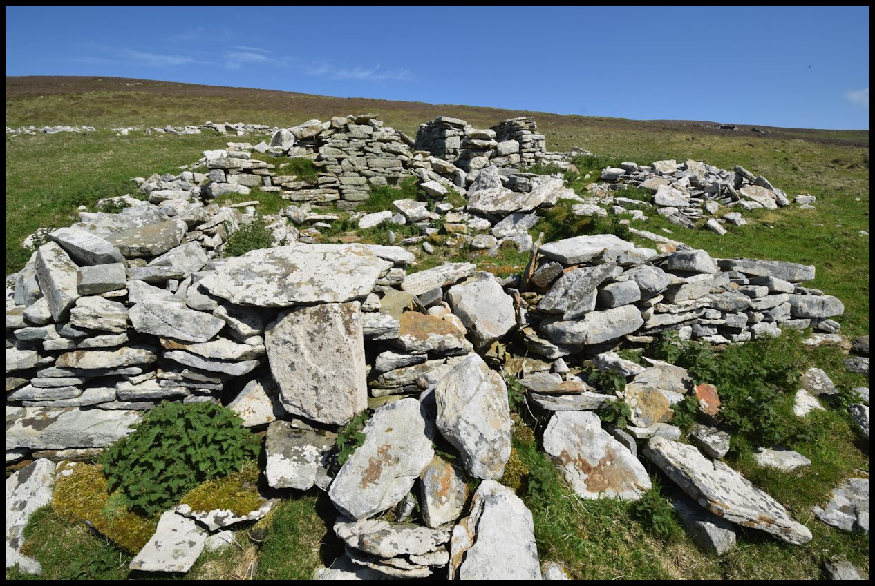
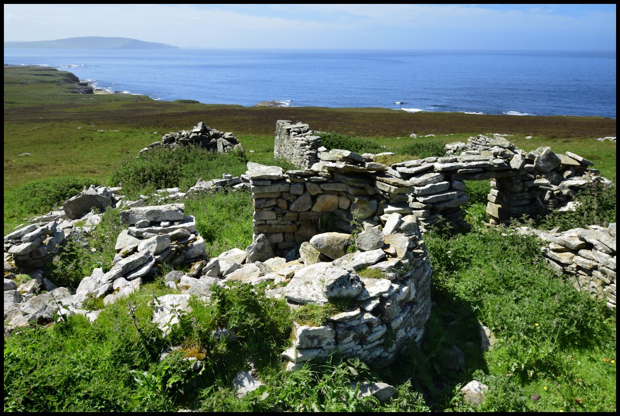
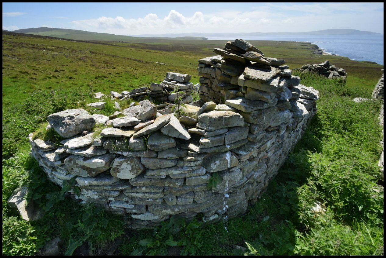
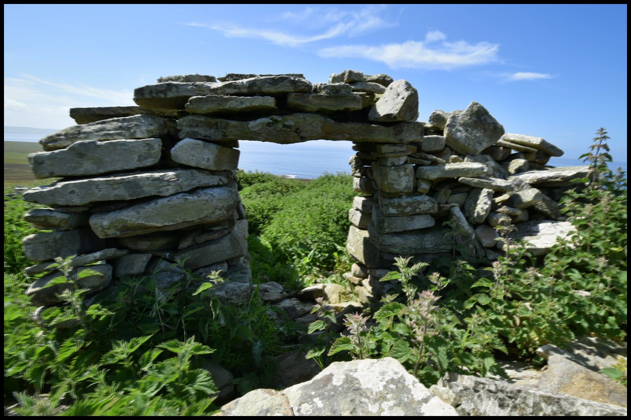
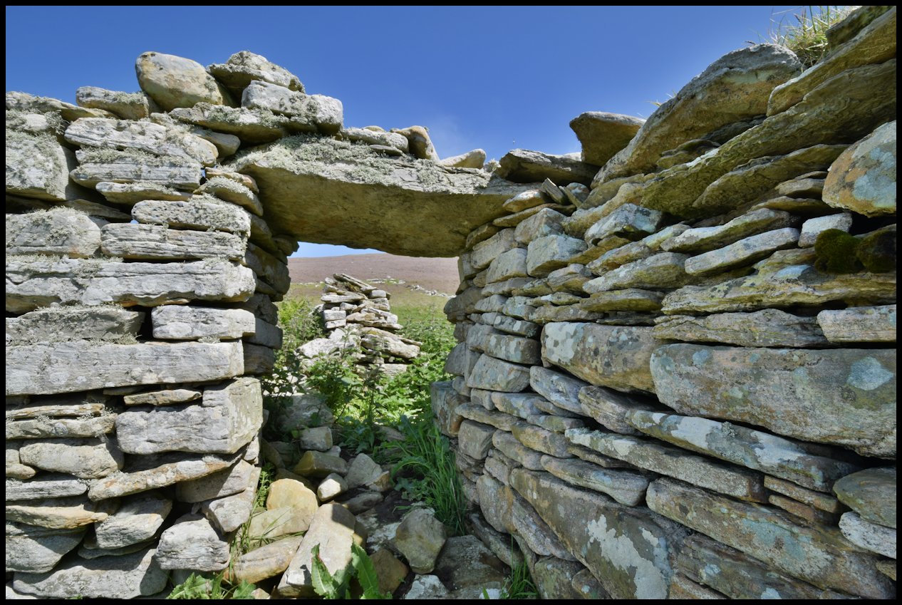
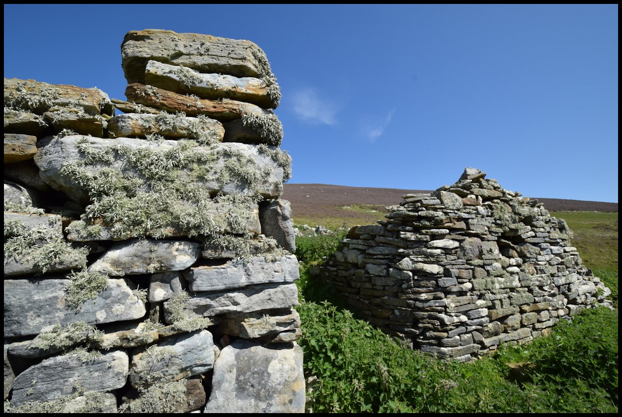
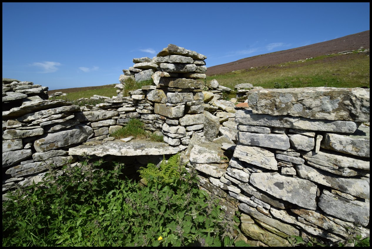
Inner Quandale was the smallest district in Rousay, with four farms. The divisions were the dyke at Whome and the dyke from the Sinians of Cutclaws to the main road. In the 1841 census Pow was the largest farm, with George Reid as tenant. George was born in 1808 died in 1900. He was evicted out of Quandale, so he went to Sourin, but found no houses available. He found a site and built Westdale. While he was building the house he slept in the heather. When he finished building, George dug out some the fields by hand. He originally named the house Westdale, being west of Ervadale and Brendale.

Whome with Craigies as tenants and Windbreck with Logies are the other two farms. Another house, long since empty then, called Geurhouse was taken over by Windbreck. Inner Quandale was depopulated by the l860’s.

Fishing Geo
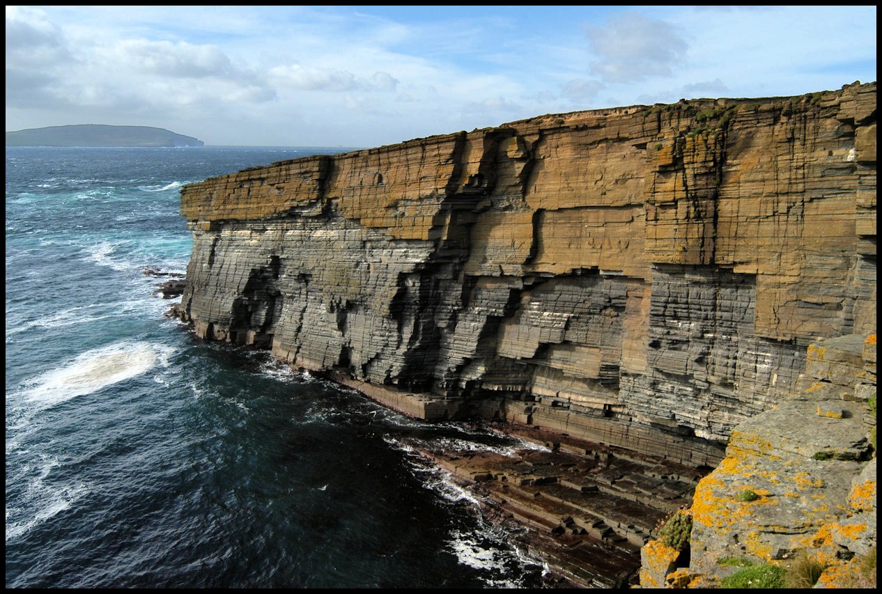
Whisber [above left] and the sheer face of rock to the north [right]

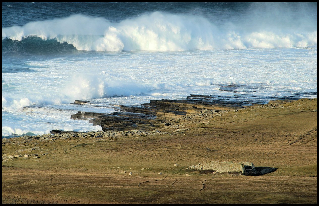
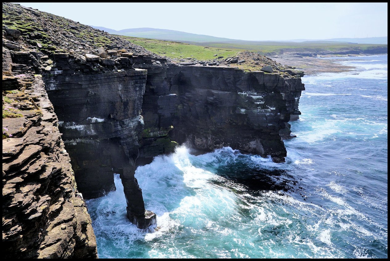
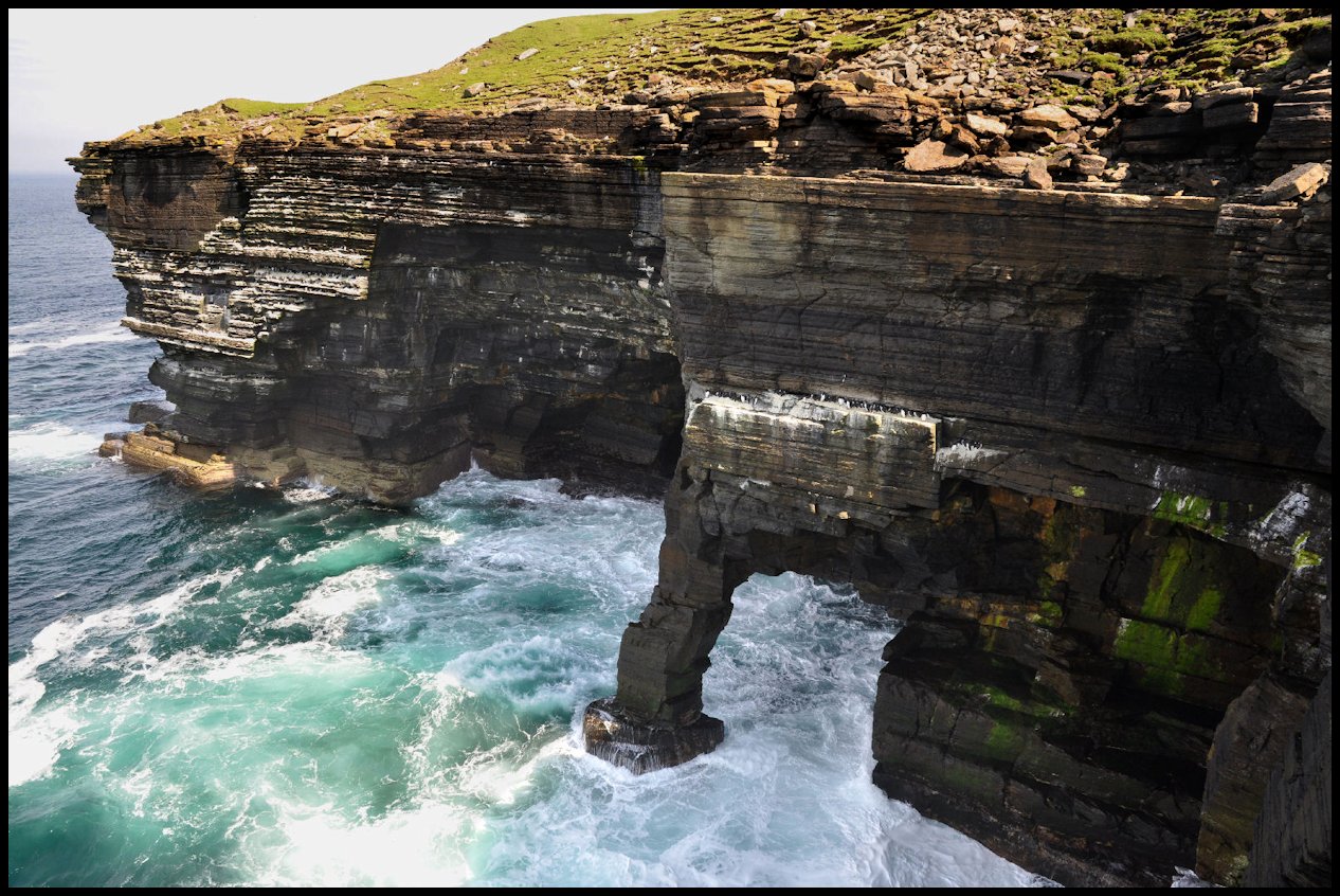
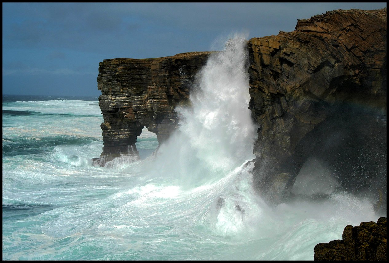
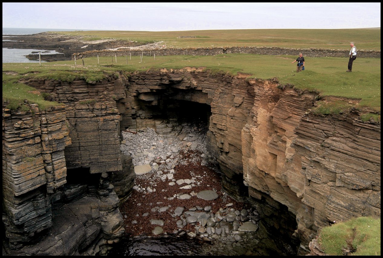
In the days of fishing in Rousay small boats had to go out to the fishing grounds. At certain states of the tide it could be slightly hazardous. Boats used to go and shelter in the Fishing Geo, the sea never broke in the Geo and the boats rose and fell in the swell while the big rollers broke a few yards away. The Hole of the Horse is a natural sea arch to the north of the Fishing Geo. The Sinians, this is a large hole in the cliffs near to the division dyke to the north. This used to have a natural arch across. This was perhaps 15 feet across. This divided the Sinians in two. This huge arch fell down in the mid 50’s.

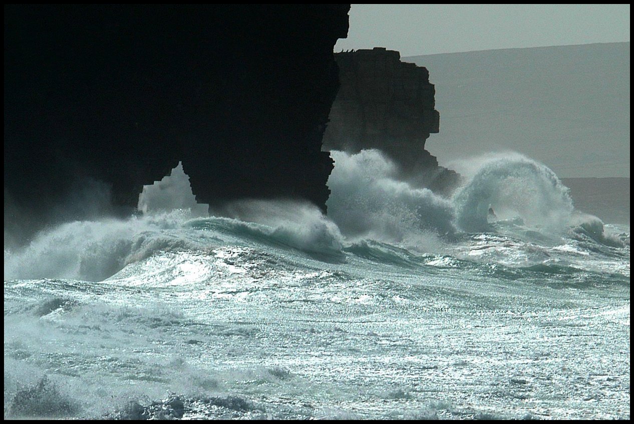
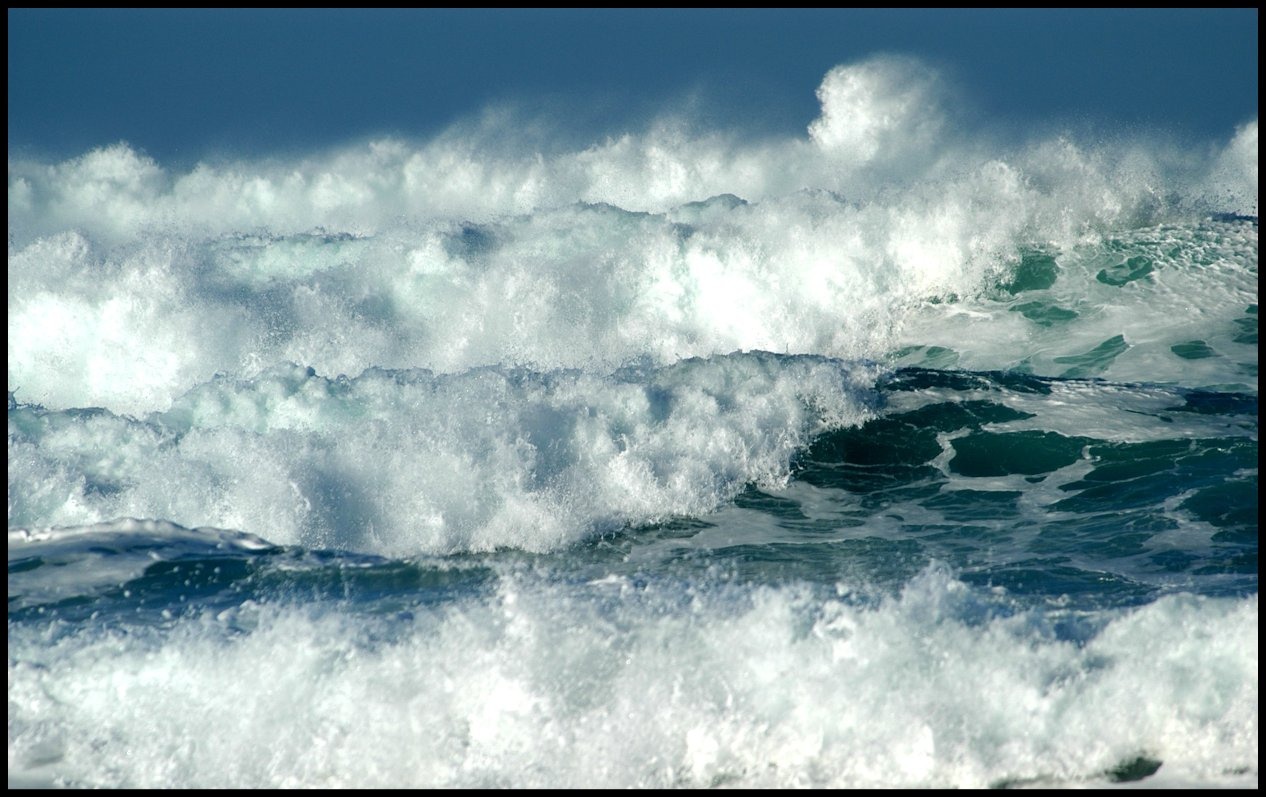
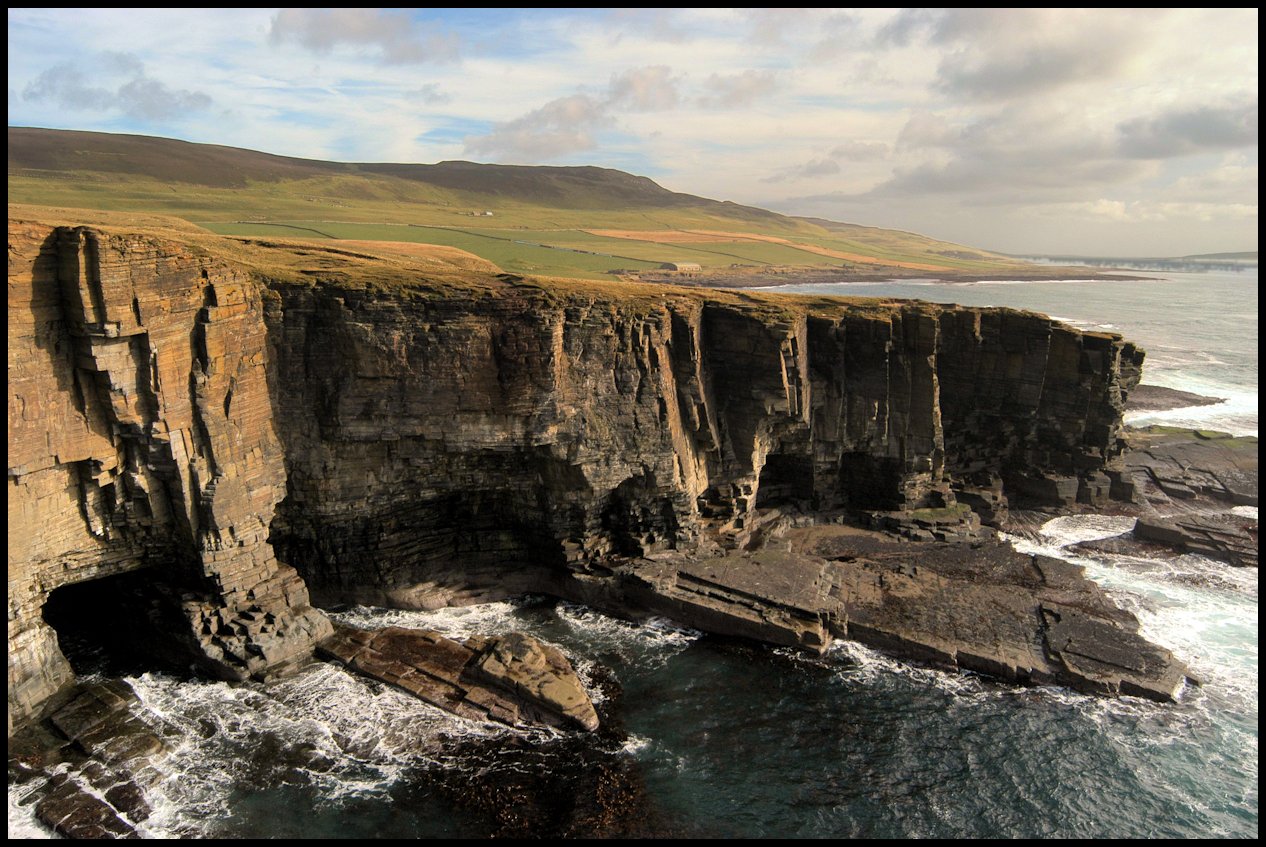
Spectacular seascapes either side of The Hole o’ the Horse, Scabra Head

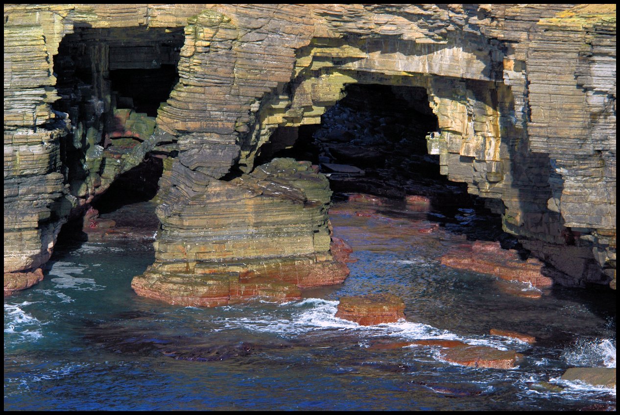
The Sinians of Cutclaws: from the outside looking in {left], and the inside looking down [right].

Below is a Tom Kent photo, c1900, showing Scabra Head and the Hole o’ the Horse – from the Sinians interior.
[Image courtesy of Orkney Library & Archive]

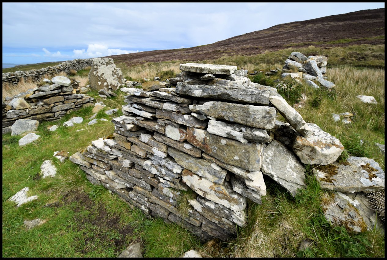
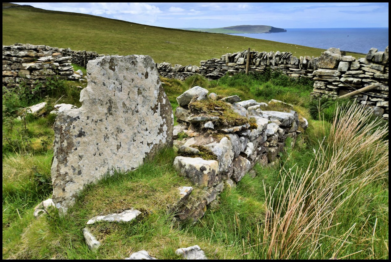
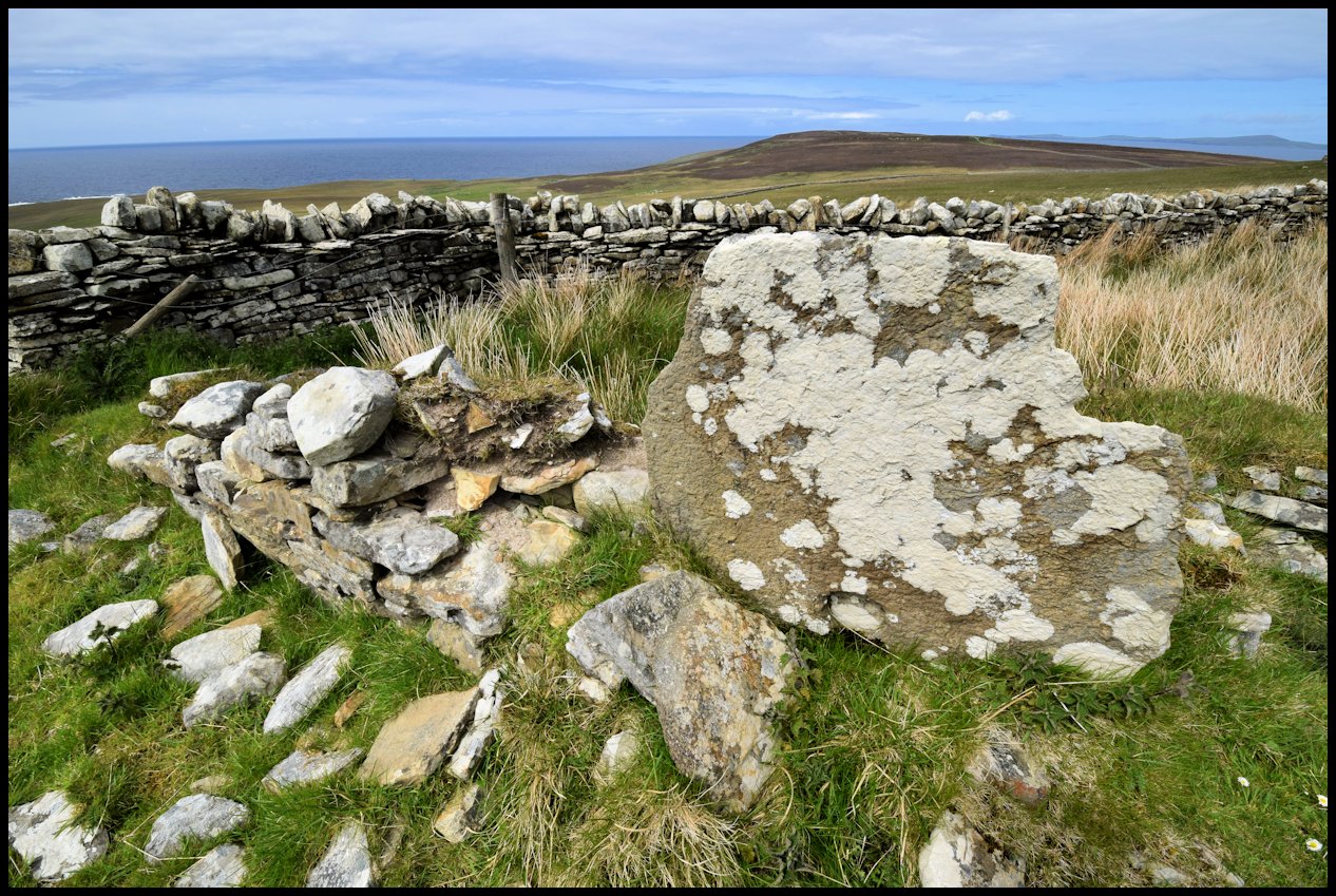
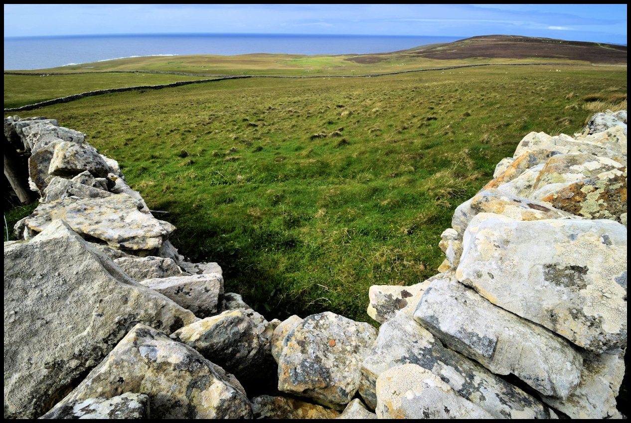
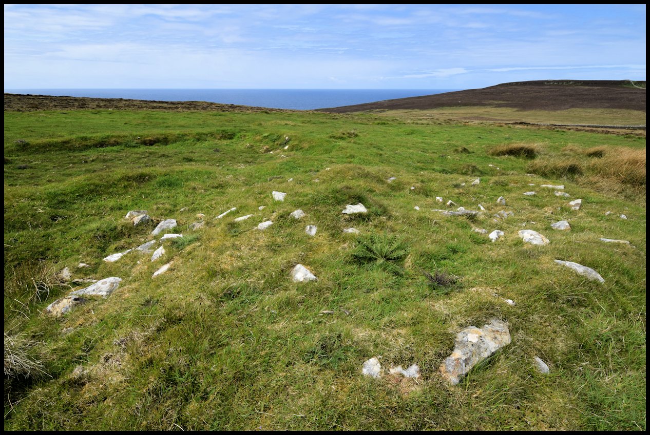
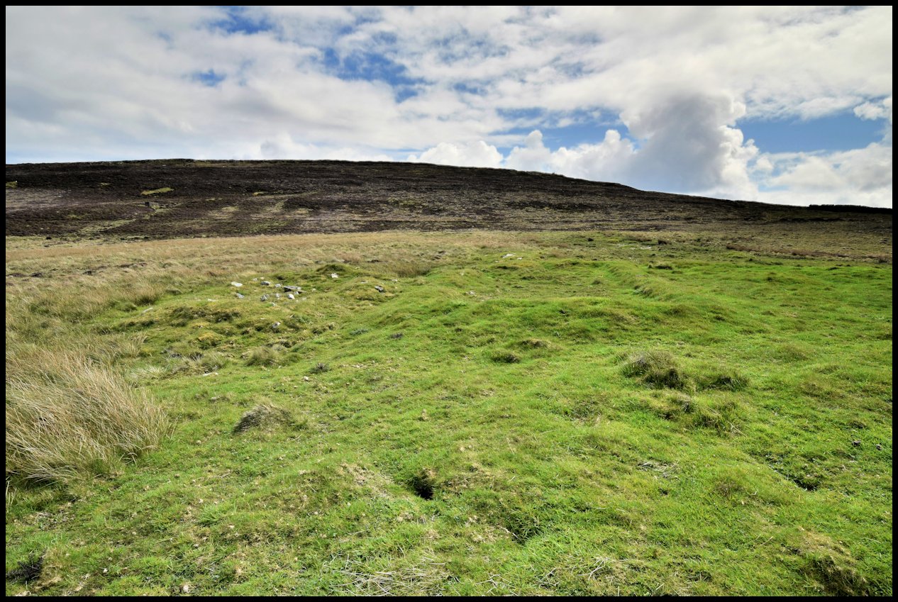
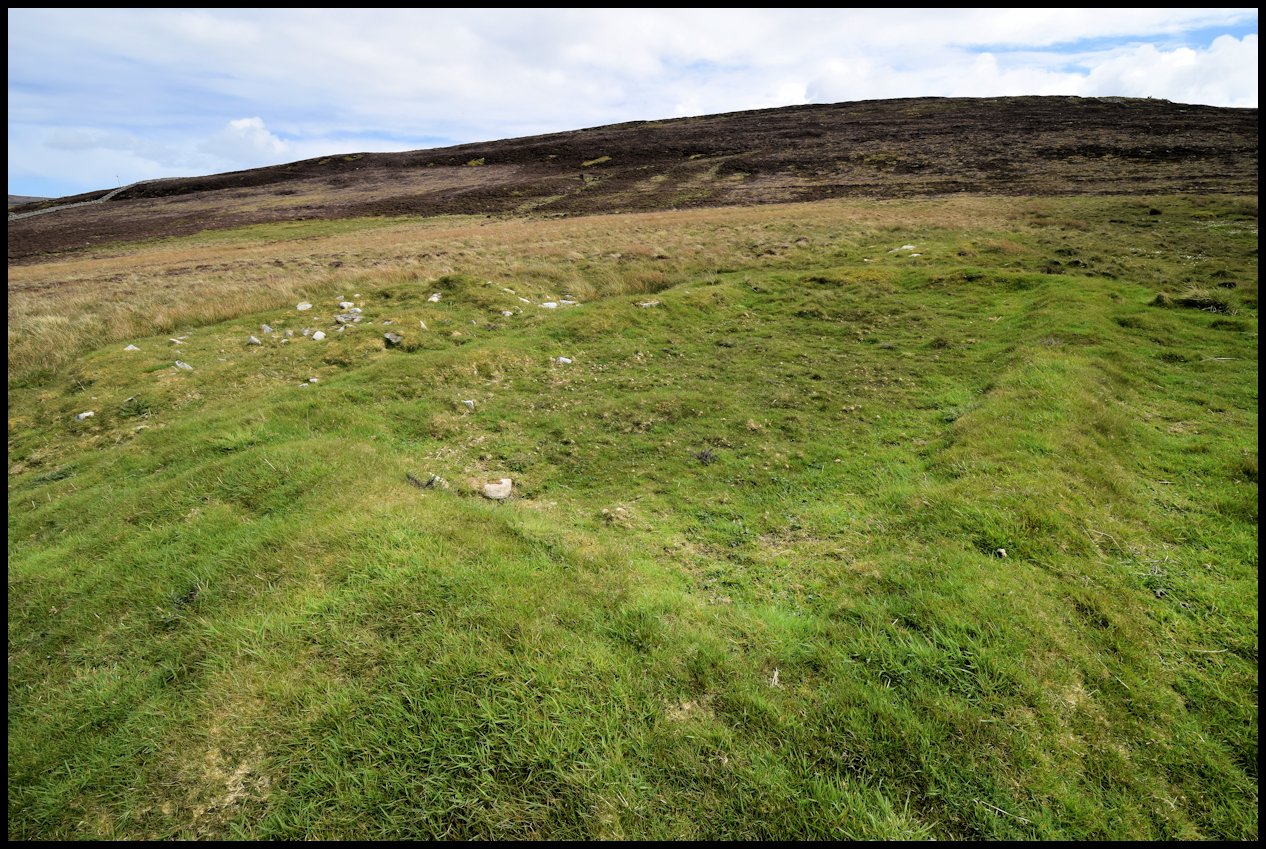
In the l920’s a golf club was formed in Rousay and a nine hole course was created in Inner Quandale. This was a very popular pastime with a large membership of young and not so young men. Hugh Marwick of Moan in Wasbister was employed as the green keeper. A corrugated iron shed was bought and placed above Wholme to keep the mowers and flags. Members of the Kirkwall and Stromness golf clubs were invited and came out to Rousay and played many tournaments. This club was finished by the end of the l930’s.

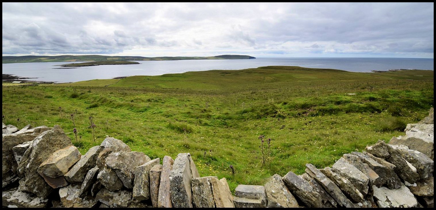
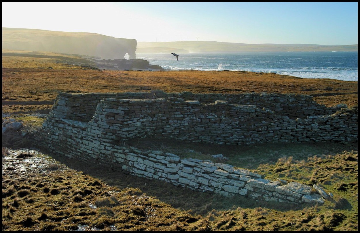
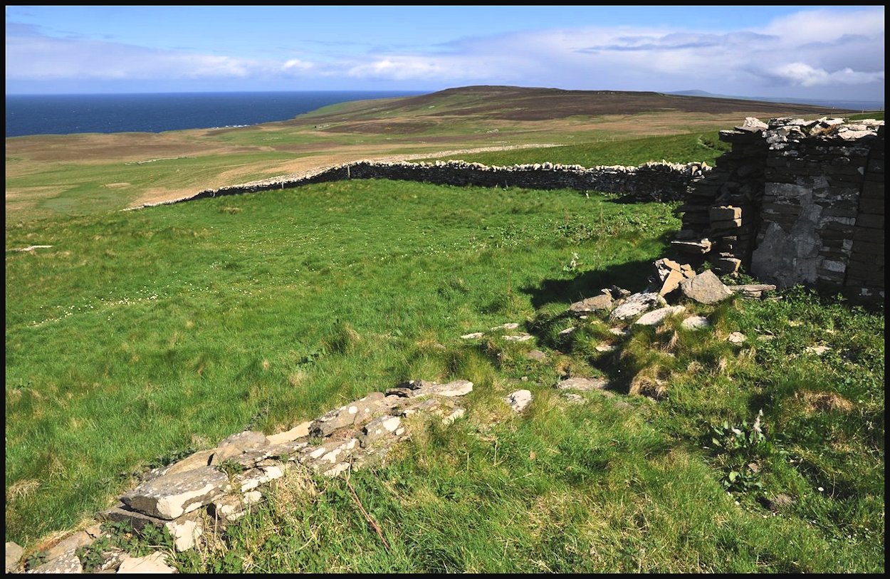
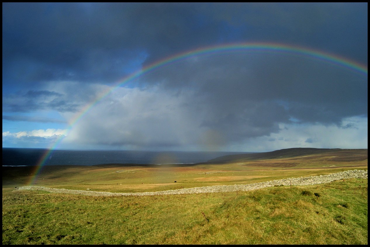
The western view from ‘Golf Course Corner’: Midhowe to the left, with Eynhallow and Costa Head across the water, Scabra Head, and Quoynalonganess to the right

In the early sixties another golf club was formed. Concerts were rehearsed and performed, cards were played, dances were organised, all to make funds. This club was active till about I967-8. This was due to depopulation in Rousay.

It was said at the time, this was the best natural golf course in the north of Scotland, with its braes, humps and hollows. One man walking between the first and second holes slid, fell and broke his leg ended up in hospital for a few weeks. The club was finished by the late 60’s.

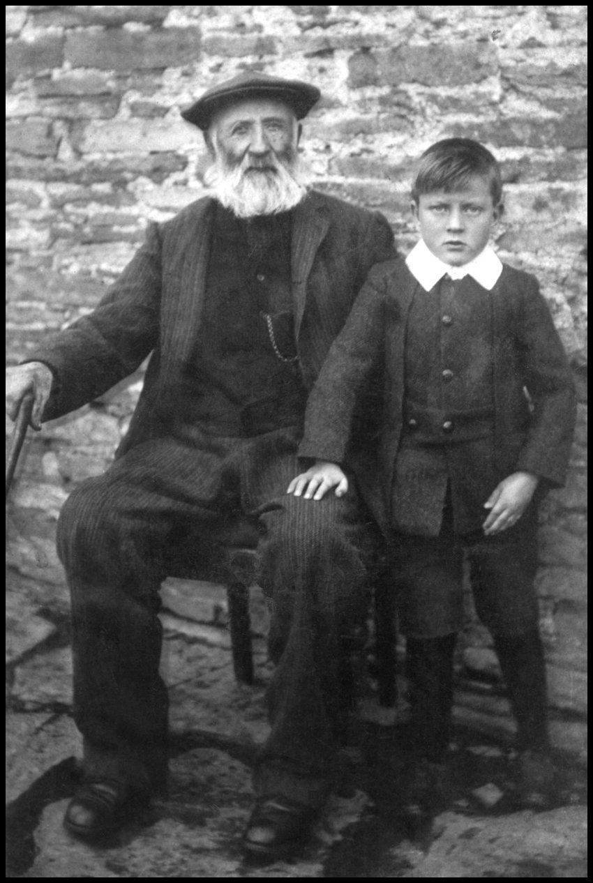
[My thanks to Tommy Gibson, Brinola, for allowing me to reproduce his story of Inner Quandale]

Categories
Quandale

Quandale Views

This cairn is at High Robbie, the name given to a huge quarry site on the hill known as Moolie. Higher up is Twelve Hours Tower, a prominent part of the hill seen throughout Wasbister, looking at which the folks who lived there knew the time of day.

An interesting feature of Quandale’s past is this ‘sheep dip.’ The structure is basically a narrowing stone-walled channel with a flagged and cobbled floor in order to direct sheep into a pond of water which was created by damming the burn. It was built in the 1800s before the time of chemicals when they hoped giving the sheep a good soak in water might help to clear them of parasites.

Above left: Entrance to the sheepfold above Quoynalonganess
Right: Lichen and Sea Pinks add colour to the shore below Quandale

Boulders and breakers on Digger Beach

Cliff edge views at Bring Head – not far from the northern-most of all the Quandale houses – North House

The ruin of Tofts dominates the skyline wherever you are in Quandale

From the road above Quandale – a great place to watch a mid-summer sunset

Categories
Quandale

Old Parish School, Quandale

The Old Parish School served the Quandale and Westness communities. At the time of the 1841 census, carried out on June 7th of that year, the population numbered 214 souls, which included 41 children between the ages of 5 and 13. The school building was centrally situated for the two communities it served, sited on high ground above the old hill dyke. Its location afforded a splendid view over Quandale and Eynhallow Sound, though because of that it took the full force of the winter weather off the sea.

The schoolroom itself measured 20×12 feet, with a 2-roomed house adjoining it. Behind lay a large walled area which was probably the schoolmaster’s kailyard. Beyond that, a 3-acre expanse of ground was surrounded by a stone dyke. Close to the house was a small byre, identifiable by its dung hole set low in one wall. For a long time it had been stipulated that a rural schoolmaster should be provided with a house, a kailyard, and enough land on which to keep a cow. The Quandale school provision appeared to correspond with those requirements.

The schoolmaster at that time, Robert Yorston, wrote to the Presbytery in 1824 complaining about his salary and scant accommodation. The Rousay minister Mr. James Paterson, was asked to investigate and to report back at the next meeting but the minutes make no mention of a report being made. The Presbytery required ministers to carry out annual inspections of the schools in their parishes and to submit reports of their findings. It appears Mr. Paterson was rather lax in these matters for it is recorded in 1832 that his neglect of his school duties brought upon him “an expression of his colleagues’ annoyance.”

In the Statistical Account of 1845 it is reported that the Rousay school-master’s salary amounted to £26 per annum and his fees to £6. There were 41 children in the parish between the ages of 6 and 15 who were unable to read, and 21 folk over the age of 15 in the same situation. The number of children in the parish, which included the islands of Rousay, Egilsay, Wyre, and Eynhallow, was between 250 and 300 so the proportion unable to read was only about 1 in 7.

This was a very high rate of literacy considering school attendance at that time was not compulsory. This level of literacy was common in Orkney and considerably higher than in most parts of Scotland. Few children stayed at school beyond the age of 13, and in the summer months attendance at school was always severely affected by the practice of keeping children at home to work on the farms, doing herding and carrying out other tasks.

Divinity student James Brotchie took charge of the school in 1832 after satisfying the Presbytery regarding his moral character and his proficiency in ‘the proper branches of education.’ After five years in the post he left to become assistant minister in Westray, and he was was succeeded by George Robson, who came from the Society School in Stenness. It is recorded that he had been elected at a meeting of the heritors and that the Presbytery ‘examined him in English, Reading and Grammar, Arithmetic, Navigation, Latin, and Greek, and having found him qualified to teach all these Branches, confirmed his appointment to the office of Parochial School-master.’ Robson, a native of Banff, came to Rousay in 1838 and a few years later married local girl Janet Murray and they had three daughters; Anne, Eliza, and Margaret. He stayed for sixteen years and was replaced by a Caithness man, Sinclair MacKay. Like his predecessor, MacKay married shortly after coming to the island, his wife being Mary Corsie from Skaill. They had three sons; John, James, and William.

The clearance of people from the main part of Quandale took place in the late 1840’s, resulting in the potential attendance of the school dropping from 41 to 33 between 1841 and 1851. In 1841 there were 41 children in the district and if a high proportion of them attended school, one wonders how they all managed to crowd into such a small classroom. The number of children dropped by half during the 1850’s when the larger holdings such as Brough and Skaill, lying nearer Westness, were absorbed into Westness Farm after the expiry of their leases. It was during that period also that those crofts which lay on the upper fringes of Quandale, such as Stourameadow and Flintersquoy, were cleared. The families remaining in the district after 1860 were mainly employed on Westness Farm.

Sinclair MacKay was still presiding over the Westside school in 1861, but by 1871 he had been transferred to a new Parish School in Frotoft, built on the high ground above Tratland.

After lying empty for a number of years the old Quandale school building became a dwelling house for Robert Logie, the shepherd looking after the Westness flocks. He was the son of John Logie and Mary Craigie of Geo, Westness, and was born on September 2nd, 1833. He married Mary Murray, daughter of Magnus and Janet Murray of Tofts, Quandale. They had a family of seven children, three boys and four girls, born between 1858 and 1871, though four of them died at an early age.

A tombstone in the Westside kirkyard records the demise of this family:

Erected in memory of
Robert Logie many years shepherd on Westness
died December 1927 aged 93 years and his wife
Mary Murray died February 1906 aged 82 years.
Their sons, Robert died April 1876 aged 19 years,
James died August 1884 aged 16 years.
Their daughters Eliza died January 1886 aged 22 years,
and Mary died February 1891 aged 29 years.

Robert Logie, with his grandson Sandy Logie c1916

[Photo courtesy of Tommy Gibson]

The last shepherd to live in the old school building was Charlie Louttit, who was killed in France in the First World War. Charles William Louttit was born in Evie on August 11th 1883. He was the son of Charles Still Louttit of Evie and Mary Ann Kirkness of Holm, and he married Mary Jemima Mainland Kirkness of Grain, Rousay, on May 17th 1906. Serving with the 1/4th Gordon Highlanders, he was killed in action during the Battle of Bapaume in France on March 25th 1918 – a fact recorded on the Evie war memorial.

The roof of Caithness slate was removed from the old school in 1921 and made use of when the new house at Bigland was built in Sourin.

[Reference was made to Robert Craigie Marwick’s From My Rousay Schoolbag for the opening paragraphs. Further information came from Tommy Gibson, and Orkney Library & Archive]

Categories
Quandale

Flintersquoy

Flintersquoy was an old croft situated above the public road between Munsey and the Quandale school. In the Rousay Birth Register of 1830 it was spelled Flintryquoy. James Gibson was a blacksmith, and this is where he worked in the mid-1800’s. In 1841 he paid rent of £2 2s 3d and in 1843 it stood at £3 3s 0d.

He was the son of Alexander Gibson and Margaret Craigie, born in 1798. He married Mary Marwick, the daughter of George and Barbara Marwick, and they had three daughters, Mary, Maggie, and Ann.

In 1851 James was 53, and Mary was 59 years old. Daughter Maggie was 18 and employed at home. Living with them was Mary’s brother William, a 62-year-old retired ship’s master, and 27-year-old Margaret Marwick, who was employed as a house servant. Due to the actions of the laird, George William Traill, James and his family were evicted in 1855 and they moved to Curquoy in Sourin.

Categories
Quandale

Munzie

The image above is a section of a ‘Plan of the Township of Quendale in the Island of Rousay, the property of George W. Traill of Viera’.
Drawn by G. Robson, Rousay c1850.
[Courtesy of the Firth Family of Vacquoy]

Munzie was a park and house-site on the lower slope of Mansemass Hill above the public road in Quandale. All that remains of the buildings today is a single site, outside the dyke, the others being completely cleared and the land used for nothing but pasture.

Known as Moansie in the 1824 Rousay Birth Register, and Upper Mincy in the 1832 register, the origin is uncertain, but one cannot fail to note the resemblance to the name of the hill. In his book The Place-Names of Rousay, Hugh Marwick thought the name might have been the local pronunciation of the house-name found recorded in the Rousay Birth Register sometimes as Magnus Hill. Referring to that register he found that in 1824 a birth took place at ‘Magnus Hill,’ and another at ‘Moansie,’ and the father in each case was William Craigie! But the fact that the mothers were different proves that these houses were definitely not the same.

The 1841 census reveals that four families were living on this site. The afore-mentioned William Craigie, a 45-year-old farmer, lived at Mounsay with his 50-year-old wife Mary, paying rent of £1 12s 3d.

The first of the three families living at Upper Mounsay was 35-year-old John Hercus and his 25-year-old wife Jean Reid, who was the daughter of George Reid and Barbara Logie of Pow, Westside. They had four children; John, James, Jane, and Henrietta. John was paying 15s. Rent at this time.

Also living at Upper was John’s mother Christy, who was then in her 75th year, and his sister Betsy, a 30-year-old plaiter.

Five members of the Low family also lived there; 50-year-old widow Margaret Low, 25-year-old son John was a seaman, 20-year-old twins David, who earned his living as a tailor, and Margaret, and the youngest was 15-year-old Ann.

The census recorded a change of tenancy by 1851. Upper Mouncey was then occupied by Barbara Craigie, a 64-year-old widow, her unmarried 32-year-old daughter Cicilia, who was an agricultural labourer, and her five year-old grand-daughter Jane Rendall, who was a scholar. Barbara’s late husband was William Craigie of Quoygray, Wasbister.

Mouncey itself was occupied by 59-year-old farmer William Corsie and his 44-year-old wife Betsy and one-year-old son Malcolm. William paid rent of £3 13s 6d. 1855 the whole of Munzie was added to Westness farm and William Corsie went to Faroe, Sourin.

1861 saw just one family at Mouncie, 58-year-old agricultural labourer William Sabiston, his 50-year-old wife Jean, and their three children, William, Mary, and Jane, all scholars.

Ten years on, and William Sabiston had passed away. His widow Jean earned a living knitting stockings, elder daughter Mary made ends meet as a dressmaker, while younger daughter Jane was also a knitter of stockings, despite being an imbecile – as recorded in the census. That census also reveals the presence of Jean’s 3-year-old grandson Robert.

By 1881, unmarried mother Mary Sabiston was still in residence at Munsie, with her 13-year-old son Robert Gillespie, and her unmarried sister Jane. In 1897 Munzie was unroofed, the flagstones being used to cover the byre at Overbister [Everybist], Wasbister.

By1891 the three Sabiston siblings were living together at Bridgend, Westness. William was a 44-year-old farm servant at Westness, as was his 23-year-old nephew Robert Gillespie; William’s sister and Robert’s mother Mary was 41 years of age and employed as a housekeeper, and Jane, unmarried and by this time a 39-year-old annuitant.

By the time the 1901 census was carried out on April 6th Robert Gillespie was married, and living in the Old School buildings above Quandale. Employed as a shepherd Robert lived there with his 26-year-old wife Wilhelmina and their children Mary, aged six, and Robert who was two. Also living with them was Robert’s mother Mary, now fifty years of age.

Ten years on and the1911 census tells us Mary was now living on Wyre, for her son Robert Gillespie farmed and employed others at Helziegetha. The household then consisted of Robert, Williamina [as it was spelled in the census – though we are reliably informed the spelling on her birth certificate is Wilimina!], daughter Mary, and two sons, Robert and 8-month-old William. Mary by this time was in the 60th year of her age.

According to the Orkney Ordnance Survey Name Book of 1879-1880, Volume 16, Munzie, or Monzie, had its name and various modes of spelling authenticated by Mr Robert Logie, Shepherd, Westness, Rousay, the Revd Alexander Macgregor Rose, Evie, and Mr John Craigie, Merchant, Hullion, Rousay. The names applied to a cottage situate at 22 chains south west of Stoormeadow, it was built of stone, thatched, and one storey high – and the property of General Burroughs C.B.

Categories
Quandale

Stourmeadow

Stourmeadow was the name applied to a house and large park of rough pasture on the upper side of the public road in Quandale, just beyond the Quandale dyke from Wasbister. A Rousay Birth Register entry of 1822 records the house being spelled Staurameirie. As you can see from the photos, there is little evidence of the house left.

In the census of 1841, the house was called Stourmary and it was where 25-year-old shoemaker George Leonard lived with his wife Margaret Clouston. The annual rent on the property at this time was £1. George was the son of John Leonard and Isabella Inkster of Grain and he was born in 1816. Wife Margaret was the daughter of Magnus Clouston and Ann Flaws of Tou, and she was born on January 24th 1822 at Windbreck, Westside.

In the above photo, taken from the hill slopes above Stourmeadow, one is able to see an old ‘feelie’ dyke. These dykes were made of spade-cut sods of earth, the foundation sods cut large, about 18x12x9 inches and laid in double tiers. Stones were also added, and wooden stakes were driven in to hold the sods together. The day of the turf dyke came to an end with the agricultural improvements. The scalping of the ground for turf and sods conflicted too sharply with grazing requirements, and dykes of stone and fences of stob and wire were the successors.

Although the croft was very small, originally with only one acre arable, George had been able to keep a cow and had grazed a number of sheep on the common grazing land. During the 1845 evictions he still managed to pay his rent, supplementing his income with fishing, shoemaking, and any other work he could find. Despite paying his rent, he too was evicted in 1855, and had to make his way through the hills with his few belongings and an infant in his arms to Treblo, on a bare and uncultivated hillside in Sourin where he had permission to settle.

Categories
Quandale

Knapknowes

As well as being tenant of Tofts, Magnus Murray paid an annual rent of £3 for Knapknowes in 1841. The old house at Quandale was situated beside the Westness dyke, which ran between the road below the school and the clifftop at the Sinians of Cutclaws.

In 1843 David Craigie was tenant of both Knapknowes and Cutclaws, paying £7 for both sites. David moved to Kirkwall in 1853. There is no evidence left of either dwelling.

In 1936 three mounds were excavated at Knapknowes by Walter Grant, his investigations revealing the fact they contained burials. The first covered a cist [small stone-built coffin-like box] containing cremated bone, ‘cramp’ [vitrified fuel ash slag, known as cramp in the context of Bronze Age Orcadian funerary practices], and six small pieces of flint. The second, crossed by a drystone dyke, covered two cists, one of them central, both containing cremated bone and cramp. The third mound covered an upright Cinerary Urn [an urn for holding a human’s ashes after cremation] in a stone setting and containing cremated bones and ‘cramp’. These three cairns were located close to the farmstead of Knapknowes, evidence of which was scarce for the footings and walls had been used to build the nearby dykes. One other mound on the site was also excavated by Grant, but it was in fact the remains of the corn-drying kiln associated with the farmstead.

Categories
Quandale

Upper, Mid & Nether Quandale

Mid Quandale was the name of a croft situated in the vicinity of the buildings of Windbreak and Tofts at Quandale. It was amalgamated with Nether Quandale before 1841, and the census of that year reveals that members of the Craigie family were living there. The annual rent was £15, but this was lowered to £11 the following year.

Head of the household was 60-year-old Hugh Craigie. He was the son of Hugh Craigie and Janet Marwick of Brough, Westside, and was born in 1778. He married Isabella Craigie, who was born in 1781, and they raised a family of ten children; Hugh was born on September 11th 1804, Janet on May 14th 1807, then another Janet on July 20th 1808, Henry on January 30th 1811, Mary on April 14th 1813, and William on September 7th 1815. All these children were born at Brough. Betty was born on November 19th 1817 at Nether Quandale, and the last three children were born at Mid Quandale; Grace on April 20th 1820, Peter on June 15th 1823, and John, who was born on March 11th 1828.

Meanwhile, at Upper Quandale in 1841 tenant Hugh Inkster paid annual rent of £8 8s 0d. In 1843 William McInlay was paying £11. He later moved into the Wash-house at Viera Lodge.

The Craigies were forced to move out of Mid Quandale during the 1845 clearance, and the parents and two of their children moved to Quoydeith in Wasbister. Hugh and Janet’s oldest son, also christened Hugh, married Margaret Harrold in 1823, and they lived at New Grindly, Brinian. The family emigrated to New Zealand in 1848 after the death of their elder daughter Jean, but tragically the younger daughter Betty died on the voyage.

Categories
Quandale

Dale & Stirling

Dale was an old house-site in Quandale about 250 yards down from the public road and on the bank of a stream.

In 1841 it was occupied by George Flaws and his family, having moved from nearby Breek. George was then a 55-year-old farmer, his wife Margaret was also 55 years of age, and daughters Janet and Jane, were 20 and 15 years old.

In 1845, during the laird’s clearance of Quandale and the Westside, the family, along with many other people, were evicted. In 1846 George and his family moved into a newly built croft and house in Frotoft, and they named it after their old house in Quandale – Breek.

~

Stirling was an old croft at Quandale, 150 yards or so to the west of the public road. It was amalgamated with the nearby croft of Deal before 1841, and from then onwards it was occupied as a sub-tenancy until the Quandale clearances.

In 1841 the tenant was Barbara Inkster, paying £1 11s 6d rent. In 1843 William Sabeston was the tenant and his rent was five guineas a year. In 1851, William was a 47-year-old agricultural labourer and Jane, his wife, was 39. At that time they had three children; James, a seven-year-old schoolboy, William, who was four, and a ten-month-old baby daughter christened Mary. At the time of the clearances in 1855 William and his family moved to nearby Munzie.

Categories
Quandale

Hestival & North House

Hestival was the name of an old house in Quandale, about 500 yards northeast of Tofts. In Old Norse the word hesta-vollr means horse field. A rental of 1841 tells of Marjorie Irvine paying £1 2s 3d annual tenancy. The census of 1851 records Mary Randall, a 55-year-old unmarried pauper living at Hestival – before the clearance.

The 1861 census tell us Mary was living at ‘Quendale’ and in 1871 she resided at Brough on the Westside.

~

North House was the most northerly croft in Quandale. It was occupied in 1841 by Alexander Louttit and his family, when the rent was £2 10s 0d a year. Born in about 1781 Alexander married Barbara Craigie of Whoam in 1816. They had two children; Janet, born in December 1816, and Mary on August 19th 1818.

Alexander later married Janet Craigie, daughter of James Craigie and Oslay Marwick, and between 1822 and 1835 they had six children; Edward, John, Barbara, William, Margaret, and Betsy. Alexander and his family were the last people to inhabit North House due to the clearance of 1845. In 1851 they were living at Lower Blackhammer in Wasbister.