A map of the area between Avelshay and Banks in Sourin showing the location of all the houses and farms.
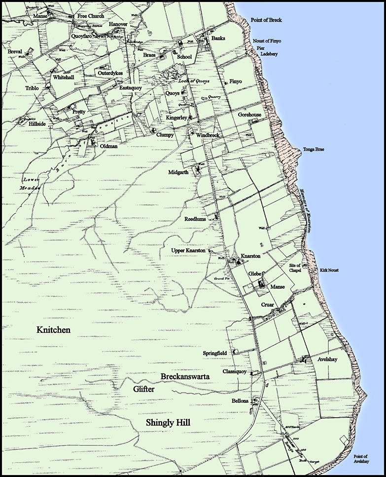
‘Reproduced with the permission of the National Library of Scotland’
[Note: I have added colour, and edited the text for the sake of clarity.]

A map of the area between Avelshay and Banks in Sourin showing the location of all the houses and farms.
‘Reproduced with the permission of the National Library of Scotland’
[Note: I have added colour, and edited the text for the sake of clarity.]